Thursday, October 29, 2020

Still have 1 week of nice weather ahead! Three Spring Hikes that are just as Fine in the Fall!

The initial climb into the canyon. Shoofly Quick Loop 

Station Creek 

Hi all, 

Boy, the afternoons are getting nicer every day, with temperatures nudging the high 60s to even low 70s in the heat of the day. That weather is supposed to hold through the middle of next week, so you might as well try to get out while you can! 

Speaking of weather, I'd like to share my first post of the season for OpenSnow.com. In the post, I talk about the La Nina forecast for this winter, which is great news for skiers and riders in Idaho. In La Nina years, Idaho's mountains average 100-110 percent of normal precipitation, so if that turns out to be true, that means we could have a ton of snow, which bodes well for powder hounds and a great river season in 2021. The long-term temperature outlook favors a cold winter in N. Idaho, and slightly warmer than normal temps in S. Idaho. See my post for the full details and graphics. 

And BTW, in case you haven't heard the radio ads, the BBSRA Ski Swap has been canceled. But McU Sports, Greenwoods Ski Haus, Idaho Mountain Touring and Play it Again Sports will be holding their own used/new ski and snowboard equipment sales in their retail stores, Nov. 6-8. Check with the retailers on the specifics, but in general, you'll be able to bring in used items to sell at the stores, and you'll be able to shop for used and new items, including ski/snowboard gear and clothing. 

Now, for the hikes ... These are some of my personal favorites ... I've written about them before, talked about them before on the radio, and they're in my guidebooks, Boise Trail Guide: 95 Hiking and Running Routes Close to Home, and Owyhee Canyonlands - An Outdoor Adventure Guide

Station Creek Trail 

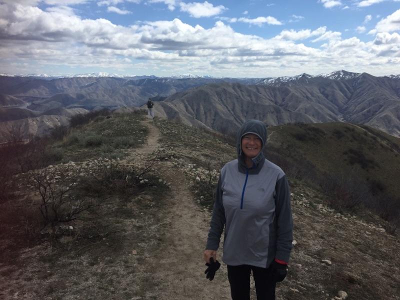
1.  Station Creek Trail in Garden Valley - Arguably the nicest hike close to Boise in the Boise National Forest. See this post for details. 

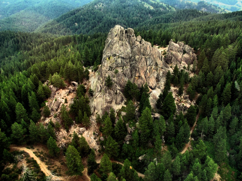
Airplane ridge on the way to Mt. Cervidae

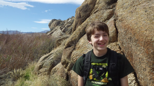
2. Mount Cervidae - one of the Boise Grand Slam Peaks that's really doable almost year-round. See this post for details. 

You'll go by an old cabin at the junction of the East Fork and West Fork of Shoofly Creek.

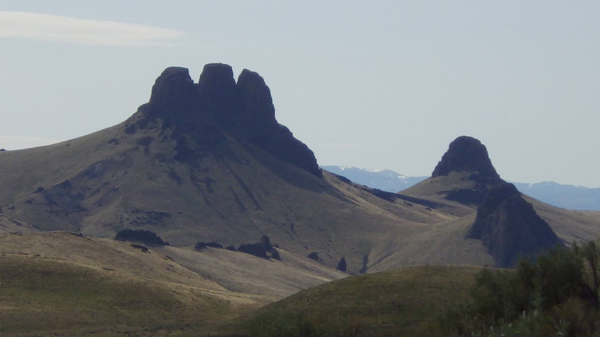
3. Shoofly Quick Loop - This is a cool adventure hike in the Owyhee Canyonlands. The trailhead isn't too far Grand View. You can check out the BLM Oolite Interpretive Area along the way. See this post for details. 

Interesting plateaus and canyons in that "Between the Creeks" area.  

Shoofly Quick Loop map 

Have fun and be safe out there! 
- SS 


Thursday, October 22, 2020

Crisp fall weekend on tap - great time to hike in the Owyhee Canyonlands!

Have you climbed Three Fingers in the Owyhees? 

Hi all, 

Boy, it's getting downright nippy this weekend! Fall is definitely getting a grip on Idaho! I'm seeing a possibility of snow showers in McCall and Stanley on Saturday, and low temperatures in the single digits! Sounds like a great forecast for elk hunting in the mountains. 

But if you were interested in going out for a nice hike, I'd recommend heading for the Owyhee Canyonlands. I'm seeing high temperatures in the 50s for Homedale, which is just 30 minutes from Succor Creek State Park, and a high of 60 in Grand View, at the beginning of the Owyhee Backcountry Byway

Picking just a few of my favorite hikes from my Owyhee Canyonlands adventure guide, I'd recommend Browns Canyon near Oreana, visiting Succor Creek State Park, Climbing Three Fingers near Succor Creek, or visiting Leslie Gulch, one of the most scenic locations in the Owyhee Canyonlands tucked inside the Oregon border. 

Browns Canyon 

1. Brown's Canyon Overland Tour, Owyhee Front, near Oreana. Distance: 5.2 miles. Difficulty: Moderate. Travel time: 3+ hours. This is an interesting hike in the sagebrush and rocks of the Owyhee Front until you come across Brown's Canyon, a hidden jewel. In my Owyhee Canyonlands guidebook, I detail a hike inside the slot canyons of Brown's Canyon, and a hike that goes around the slot canyon (thereby avoiding cold, deep-water pools) but you can still see it from above.

How to get there: Take I-84 East to Simco Road. Turn south on the highway to Grand View. Turn right on Idaho 78 in Grandview and head for the tiny old town of Oreana. There's a sign on the highway for a left-hand turn into town near MP 43. Make a note of your odometer. Drive down the hill straight into town, go past the old church (2.25 miles from the highway) and go straight on the Oreana Loop Road until it takes a hard left. Make the corner and take an immediate right on Alder Creek Road. Follow the bumpy dirt road six miles to a signed right-hand turnoff for BLM Road 700. Proceed down the grade to an old corral at a two-way junction. Park. The hike starts here.

Drewby liked Browns Canyon 

The Hike
: Go west on BLM Road 700 and climb a moderate grade over to a bluff that overlooks Browns Canyon. At mile 1.4, bear right on a two-track and drop down to the Browns Creek draw. This is a pretty area that's full of shrubs and aspens. The first slot canyon with blondish rock begins at mile 1.7. Cross over to the left side of the draw, as you go downstream, and walk overland through the blond rocks staying above the canyon. You'll break out into an open sage flat at mile 2.0. When the next slot canyon begins, climb up the slope to the left until you reach the top of the rim, and then hike along the rim as close as you feel comfortable to check out the slot canyon as you move along. In a half mile, the canyon breaks open by a draw, and you'll need to lose elevation. Hike into the bottom of the gully and climb back on top of the rim. There's a nice overlook when you reach the top again at mile 3. Continue on the left side of the canyon until you come to the dirt road crossing, and then turn right onto the dirt road at mile 3.6.  Follow the road to mile 4.0 at a two-way junction. Turn right again at a fence gate, and follow the two-track road (BLM Road #710)  back to the trailhead. Feel free to explore Antelope Springs along the way. It's another tight canyon.  

Wendy at Succor Creek 

2. Visit Succor Creek State Park - Succor Creek State Park lies in the bottom of an incised canyon, surrounded by cool rock features left over from rhyiolite and basalt lava flows that occurred many millions of years ago. There aren't many official trails in the area, but cross-country hiking is a great way to explore it. Kids will enjoy the caves, in particular, and playing around by the creek.

We started our outing with a casual walk along Succor Creek. We walked a half mile downstream before we got cliffed out and had to turn around. Near the pedestrian bridge that goes across the creek in the campground, there is a small slot canyon you can explore. There's also a jeep trail that climbs above the slot canyon and provides a nice view of the campground below. We could peer into the slot canyon and walk along the top of the rim as far as we wished. Up on top, you could climb much higher if you wanted to get a huge view of the Owyhee Mountains.

We saw at least 10 different caves that one could explore. A very large cave lies next to Succor Creek Road. It has a big dirt floor and there were some small animal bones and such that we found inside.

How to get there: Take I-84 to the last exit in Nampa. Take ID 55 west toward Marsing. Turn right on Chicken Dinner Road, then left on Homedale Road, and go to Homedale. Follow State Highway 19 west of Homedale, and then Highway 201 in Oregon, to a signed turnoff for Succor Creek State Park on the left. Follow the good dirt road to Succor Creek State Park, it's about 20-30 minutes to the park from the highway. 


Hike to Three Fingers 
The dirt road access for Three Fingers is a few miles south of Succor Creek State Park. A good all-wheel-drive vehicle with high clearance is recommended for this trip, but it's not that gnarly of a road (when it's dry). A Subaru Outback should be fine, too. Watch for a right-hand turn after climbing the grade south of Succor Creek State Park. Turn right on the primitive road, and continue 3.9 miles on the dirt road to "the trailhead" for Three Fingers, a high point in the road. You'll see a steep two-track headed to the west over a hill. There is a fiber optic cable post across the road at this spot. I parked my Ford F-250 in a pullout and hiked from there.

It's about 1.2 miles to the top of Three Fingers from the trailhead, or 2.4 miles total. Bring a lunch and some water to enjoy on the summit. You can't see Three Fingers from the trailhead, but you'll see it on the dirt road as you're approaching it. It's a basalt cap on top of a grassy knoll with three distinctive knobby fingers.

From the trailhead, we followed the two-track ruts to the top of the first ridge at .3 miles. From there, a grand view of the Owyhee Plateau opened up before our eyes. The two-track bends to the north toward Three Fingers. We cruised over there, and then followed footpaths toward a gap behind the rock between the first finger and the second finger. Sure enough, it was possible to scramble to the top from there. I had to lift my puppy over a few steep spots, but a dog should be fine on the hike.

Once on top, we could see for more than 50 miles in all directions. We discovered several unexpected pleasures on our trip. First, my friend Norm spied a gold eagle nest on the backside of Three Fingers. With the binoculars, he could see an eagle chick in the nest. There might have been more chicks in the nest, yet to hatch.

Bones for Huck to sniff 

The second thing was that someone has placed a silver canister at the summit of the first finger containing a number of notebooks inside. Several summit journals contain people's thoughts over the last 10 years. That's pretty cool. I made a few notes in one of the notebooks.

If you've got a copy handy, bring along Roadside Geology of Idaho by David Alt and Donald Hyndman in your day pack. It's a great reference for a hike in the Owyhees. It explains the rhyolite volcanic eruptions and the oozing basalt lava flows that shaped that countryside. It's pretty easy to imagine those events when you're sitting in a catbird seat on Three Fingers, enjoying a quiet moment surrounded by the beauty of nature.

Enjoy the Owyhees! 
- SS 

Thursday, October 15, 2020

Take a "Leaf-Peeping" Fall Foliage vacation in New England


Fall colors are beginning to burst from the top of Mt. Kearsarge near New London, N.H. 

Kancamagus Highway, White Mountains, NH (courtesy New England Tourism)

Hi all,

I visited my son, Quinn, at Colby-Sawyer College in New London, NH, last weekend, and I was hoping that my trip would be well-timed to experience the fall colors building to a peak in New England. 

As things turned out, it was close to the peak! Midway upstate in New Hampshire, where we visited our cousins in Waterville Valley, the leaves were a bit past the peak in the White Mountains. In New London, a bit to the west and south, the colors were beginning to burst with color, but yet-to-peak fully. Still, I felt blessed to experience the grandeur of fall colors while climbing several mountains with Quinn. Always great fun to hang out with Quinn! I also got to see my sister, Sue, who is president of Colby-Sawyer, and take some pretty walks in New London, a charming little town.   

For this week's outdoor tip, I'd like to recommend some popular places to see and go as part of a New England fall folliage vacation. Tuck this idea away for post-Covid life, if that ever occurs! 

If you haven't heard, New England is considered a national tourist destination for fall colors. A unique mix of sugar maple trees, hickories, paper birches and tulip poplars create an amazing kaleidoscope of colors, including varying shades of red, yellow, orange and purple! 

And here's a new one for you ... people who travel to see fall folliage are known as a "Leaf-Peeper." The overall practice is known as "Leaf-Peeping." 

From Wikipedia: Leaf peeping is an informal term in the United States and Canada for the activity in which people travel to view and photograph the fall foliage in areas where leaves change colors in autumn,[1] particularly in northern New England[2][3] and the upper Midwest, as well as the provinces of Ontario and Quebec.[4][5] An organized excursion for leaf peeping is known as a foliage tour or color tour.

Last Friday, Quinn and I climbed Mt. Kearsarge, kind of the local mountain for Colby-Sawyer students, staff and faculty. The college holds a Mountain Day event each fall, where everyone climbs to the top of Mt. Kearsarge (elev. 2,923 feet), and enjoys a picnic aftewards. This year it was an on-your-own version of Mountain Day, and that happened to coincide with my visit with Quinn. It's a steep trail with lots roots and rocks to climb over, but once on top of the granite slabs at the summit, it's a great 360-degree view of the surrounding countryside. 

On Saturday morning, we ventured to Waterville Valley to climb a mountain and visit my cousins who have a ski house in the 'hood. Quinn and I were going to hike a national forest trail to the top of two peaks, but as we neared the trailhead, we saw 200-300 cars parked on either side of the paved road. So we're like, no thanks! We decided to climb the Waterville ski area instead -- a 2,000-foot vertical climb over several miles, hiking up the grassy slopes next to thick and colorful trees.

From the summit of Waterville, it seemed the leaves were just a bit past the peak ... 

Top of Waterville Valley ski area. Nice day for a hike! 

I get a kick out of Quinn wearing his river hat on a hike. It was an uncommonly warm, fall day.  

They actually mow the ski slopes at Waterville presumably to enable them to open as early as possible with natural and man-made snow. But that made the hiking and footing quite nice.

Now, here are some other recommendations for fall foliage destinations/tours:

  • Drive the Kancamagus Scenic Highway in the White Mountains. This route is considered to be one of the best scenic drives for fall foliage in New England. The route is 35 miles long. Find a cool B&B or AirBnb to stay in near the route! 
  • Drive the Mountain Washington Auto Road to reach the highest summit in New England on Mount Washington (elev. 6,288 feet). It's also one of the coldest and windiest spots in the whole region, so plan for that! There are hiking trails nearby from the summt. 
  • Take the cog railway to the top of Mountain Washington. The train climbs the mountain at a 25 percent grade in places. It takes an hour round-trip, according to the web site. 
  • Here's a guide to 15 scenic drives for fall foliage in New England. 

Courtesy Mt. Washington Cog Railway

Hope that whets your appetite! If not, check out these photos! 

Courtesy Great Train Escapes

Courtesy Stellar Travel 


Thursday, October 1, 2020

Five fall hikes in SW Idaho that really shine this time of year!

Charcoal Gulch, Boise National Forest (courtesy Visit Idaho) 

Hi all, 

When I see beautiful bluebird days like we've been having lately, I start yearning to visit Silver City in the Owyhees, upper Dry Creek in the Boise Foothills, Charcoal Gulch in Idaho City, and some of my favorite trails around McCall. 

For my outdoor tip this week, I'll recommend five fall hikes below. All of these hikes are in my two hiking guides, Boise Trail Guide: 95 Hiking and Running Routes Close to Home or Owyhee Canyonlands - An Outdoor Adventure Guide

The weather looks absolutely stellar for the next 7-10 days in the Boise area and Central Idaho! Cool nights -- freezing cold in the high-mountain elevations -- warm afternoons in the 70s and low 80s, and comfortable evenings while it's still light. Nothing better! 

Before you go, for fall hiking, remember to pack a few more things such as a good rain/wind coat, a few extra upper layers, a good hat, skull cap? water, snacks and camera (your phone) and hiking poles. 

The Mountain Coaster! (Courtesy Bogus Basin) 
And now, for the hikes: 

1. Bogus Basin Mountain Recreation Area - It's the last weekend at Bogus where they'll be operating lifts, food and beverage. You can hike Deer Point to Elk Meadows and do a 5-mile around the hike or do the full 10-mile Around the Mountain hike, or something less or more. 

2. Charcoal Gulch, Idaho City - Take a drive to Idaho City and go for a nice colorful hike on the Charcoal Gulch Trail, just on the outskirts of town. Find the trail by the Idaho City Airport (ever been there?) on the south side of town. There's a little trailhead on the north side of the airport. Take the Buena Vista Trail along the edge of the mountain, and then you'll see the junction for Charcoal Gulch. There are aspens and pines along the way, plus a small creek.  

Silver City 

3. Silver City Sawpit Mountain Loop - It's an 8-5-mile loop that circumnavigates a timbered mountain with a bald pointy cap that looms over Silver City in the high-elevation community in the Owyhees. It's rated moderate to strenuous. The fall colors in Silver City should be starting to happen anytime! I wrote about this hike last fall for Idaho Press Outdoors. Please see my story for directions and details. 

4. Freddy's Stack Rock Trail - Stack Rock is a signature granite pyramid-shaped rock on a timbered ridge to the west of Bogus Basin Mountain Resort. It's a 9.5-mile hike or bike ride from the trailhead to do the loop around Freddy's Stack Rock Trail. I would rate the hike/ride as moderate to strenuous because of a number of continuous uphills along the way, the distance and 2,600-vertical-foot gain/loss. You're walking/riding in the pines throughout the route, except when you get to Stack Rock, so that makes it scenic and intimate. Take a lunch to enjoy on Stack Rock. 

Image result for stack rock
Photo courtesy of Tom Lopez


Backstory: Approximately 1,300 acres of the Stack Rock area came into public ownership courtesy of a $1 million donation by Boise resident Fred Alleman and additional funds from the Boise Foothills Levy Committee. The land was purchased from the Terteling family in December 2009 for $1.32 million to make it available for public use. 

Directions: Park in the Forest Service parking lot and take the new trail over to Stock Rock/Sweet Connie junction to get started. Watch for the big parking lot on the right about Mile 12. 

You'll see a number of nifty bridges on the Dry Creek Trail ... keeping your feet dry.

5. Dry Creek out and back, Boise Foothills - Dry Creek is always a pretty hike, but especially right now, it should be great. The trailhead is off of Bogus Basin Road, several miles up from Boise, on the right side, as the road begins a series of hairpin switchbacks. You'll see other cars at the trailhead. It's a big day to hike to the top of the Boise Ridge via Dry Creek (7.5 miles, 2000+ vertical feet), so just take your time and go as far as you want. 


Have fun!
- SS