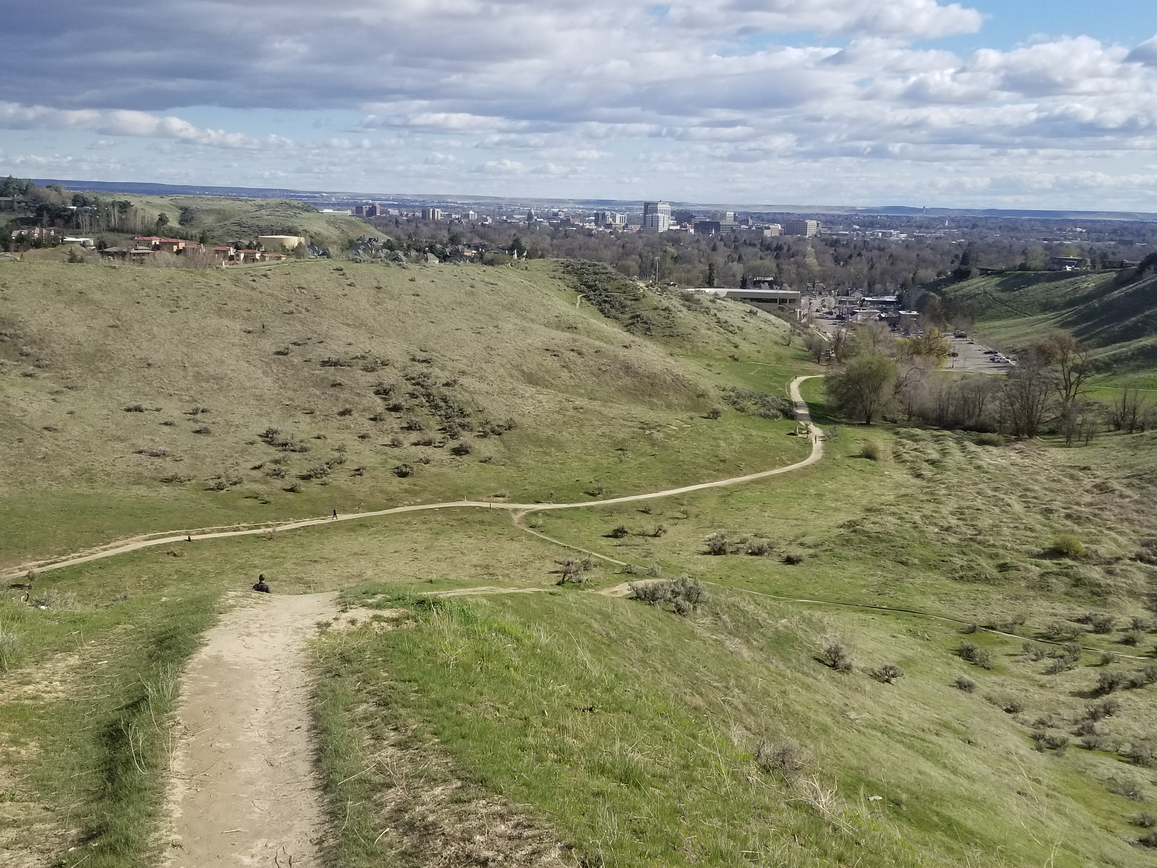
Thursday, June 25, 2009

Bogus Basin Contour Special


Photo courtesy benandalonna.com

Well, a gorgeous weekend lies ahead, with temperatures in the 80s, so it's going to be a great weekend to do almost anything outdoors. I'm recommending a 5.75-mile hike or mountain bike ride at Bogus Basin called the "Bogus Basin Contour Special." The hike is featured in the Boise Trail Guide, and the ride is in the brand new 5th edition of Mountain Biking in Boise.

You could combine the hike/ride with the annual "Star Party" at Bogus Saturday night, from 7 p.m. to midnight. Scale the mountain by day, revel in star-gazing at night.

It's a beautiful hike or ride to circumnavigate Bogus Basin, following the Deer Point Trail from the bottom of the Deer Point chairlift, and climbing ever so gently but steadily up to the saddle near the top of the Showcase Chairlift. From there, you pick up Elk Meadows Trail and follow that around the backside of Bogus to Lodge Trail, back to the Pioneer, or take a sidetrip to the top of Shafer Butte for the best view. Be sure to bring a lunch or a snack for the summit.

Lodge Trail returns to the Pioneer Lodge. Go to the left of the Morning Star chairlift and descend on Sunshine, a two-track that dissolves into a wildflower-bordered singletrack. Cruise down to the bottom of Sunshine, merge into the bottom of Shindig, and then follow the service road back to the base area.

If this ride seemed too tame, check out the freeride Eastside Trail. It's longer and much more challenging. The official trailhead is by the Nordic Lodge. Another option is to ride the Bogus Basin freeride trail, which may or may not be ready to ride right now ... - SS

Thursday, June 18, 2009

New edition of Mountain Biking in Boise to hit the streets next week

Ian Fitzgerald of Eagle flies into the sky at the Idaho Velopark (Mari Briggs photo)

Five Mile Creek

Bob's Trail, Josh Roper photo

Orchard Gulch off of Rocky Canyon Road
Practice good trail etiquette

Oregon Trail

Scaling Hard Guy

Lots of elbow room on Avimor trails

Idaho Velopark Stage Fright jump line

Hi all,

After many months of work, I'm happy to report that the 5th edition of Mountain Biking in Boise will be released for retail sales in the middle of next week. The book also is available for sale on my web site.

Many new trails have been added to the Boise and Eagle Foothills trail network over the last 5-6 years since the last edition. Volunteers from the Southwest Idaho Mountain Biking Association (SWIMBA), the Idaho Velopark and Boise REI have stepped up to create more trails, more fun, more challenge and more pure adrenaline than we've ever had before. My hats off to all of the people who made this happen.

The new book features 65 rides and maps, a photo gallery of action images, and tips on riding technique, trail etiquette and bike maintenance. The book has 25 more rides than the last edition, including rides in the Eagle Foothills, the Idaho Velopark, Avimor, new Ridge to Rivers Trails and new trails around Bogus Basin. All told, the trail system in the foothills has expanded from 80 miles to 200+ miles of trails, much of it singletrack.

We're blessed to have so many public trails right out our backdoor in Boise. It's a world-class trail system -- one of the best in a city of our size anywhere in America, in my opinion. We need to do everything possible to tread lightly and be an ambassador for the sport of mountain biking when you're out there on the trail.

Go out of your way to yield to other users and say hello ... it's a wonderful thing to see all of the people out there hiking, walking their dogs, running, biking and horseback riding in the foothills, in addition to the motorbikes and ATVs in the upper reaches of the foothills. Everyone is out there to have fun and enjoy the fresh air and the surrounding environment. Do your part to preserve the resource.

The new book will be available at Treasure Valley bike shops, book shops and outdoor stores. Book-signing events will be announced soon.

In the coming days, my web site will feature sample rides from the book, videos of more than a dozen trails, and a fun slide show of previous book covers and associated trivia ... -- SS

Thursday, June 11, 2009

Priest Lake is one of Idaho's crown jewels

Awesome beach camping

Oops!

This tree doesn't have much foundation left

Paddling up the Narrows to Upper Priest Lake

Full moon over Priest Lake

Navigation Trail

Sweet singletrack

I am so happy to be here!

Our campsite


Wendy and I had a four-day weekend reserved last week to run the Bruneau River. But after our friends had to cancel, we shifted the trip to Priest Lake, one of my all-time favorite outdoor haunts.

We headed for Beaver Creek Campground in the Panhandle National Forest, a premium camping area on the north end of Priest Lake that has beachfront, immediate access to singletrack hiking and biking trails, and close access to the "the Narrows," a creek-like water channel that connects to Upper Priest Lake. It's a perfect base camp for just about any outdoor activity, including reading on the beach!

We mountain biked on the Lakeshore Trail, a 10-mile wonder along the west shoreline of Priest Lake in heavy timber right on the edge of Priest Lake. We also rode the Navigation Trail to Upper Priest Lake. It's an easy trail for the most part, but there was one challenging section with some stairstep drops into a creek bottom, and Wendy landed at the bottom of the stairstep feature and lost control. She got ejected from her bike and Supermanned into the creek bottom, landing on her head in the mud. Ouch! She was OK after a bit of rest.

The Selkirk Mountains are directly above the east shoreline of Priest Lake. You can take logging roads to points near the upper ridge, and hike to the peaks from there. When Mark Lisk and I worked on the Idaho Impressions coffee table book, we hiked out to Chimney Rock at sunset, and he got a great shot of the orange-and-rouge sunset glows on the Selkirk Peaks, and we hiked back to the truck in the dark, and actually found it!

Several of the mountain bike trails in the Priest Lake region are featured in my statewide guide "Mountain Biking Idaho." Check 'em out. They're awesome!

Try to plan a week to visit Priest Lake and immerse yourself in all of the outdoor fun. Don't forget to hang out on the beach and chill, too.

How to get there: From Boise take I-84 west toward Portland. Go right on I-82 near the Tri-Cities. Then take U.S. 395 north to Ritzville and I-90. Go east to Spokane, then U.S. 2 north to Priest Lake from Spokane. It's about 8 hours of driving time if you keep the pedal to the metal. -- SS

Thursday, May 28, 2009

Don't overlook the upper South Fork Payette -- it's scenic and fun


Kirkham Rapids

Pinball Rapids

Kirkham Rapids (photos courtesy Payette River Co.)


Hi all,

Summer weather is kicking in with a vengeance. Idaho's mighty rivers are swollen with snowmelt, and the Payette River is no exception. It's cranking at 3,800 cfs in Lowman and 8,300 cfs in Horseshoe Bend as of Thursday night, 5/28/09, and rising. That means it's bank full, the water is in the trees and bushes, and the current is freight-training downriver.

Here's a tip for this week: Don't overlook the upper South Fork of the Payette River between Bonneville Hot Springs and Lowman. Known as the "Grand Jean" run among longtime Idaho boaters, this little-known gem is a challenging thread of turquoise as it pours out of the Sawtooth Wilderness into the pine-shaded cabin-ville of the Lowman area.

In the upper end, putting in along the Grand Jean road, there are log jamps and tight technical rapids. Below Bonneville Hot Springs, Chapman Creek and Little Surprise, both Class 3 rapids come up almost immediately. I've heard there's a log jam in between those two rapids. Then, the water flattens out a bit, but at this level, even the corners are going to be sporting in a raft or kayak. Below Helende Campground, a series of Class 3-4 drops come up, including Emma Creek, Pinball, and Wangdoodle, before Kirkham Rapids upstream of the hot springs. Some of the run can be pre-scouted on the way up to the put-in. After that, the river mellows out, but it'll still be swift.

I've been told by my friends at Payette River Company, based in Lowman, that they've got trips going this weekend and onward through the spring.

Check with Cascade Raft & Kayak, Idaho Whitewater Unlimited, Far & Away Adventures, and Bear Valley River Co. to see if they're running any trips on the upper South Fork. Some of the outfitters run multi-day trips on that reach, so you can maximize on several days of white-knuckle boating in a row, plus fun nights in camp with great eating.

For private boaters, it's a longer drive to Lowman and the Grand Jean put-in, compared to running the South Fork canyon or the Staircase run but it's well worth it. Be sure to work in a soak in Bonneville or Kirkham hot springs, and consider camping at one of many developed or primitive camping sites between Lowman and Grand Jean. Also, don't forget the Sourdough Lodge for breakfast, lunch or dinner.

The Upper South Fork run is 22 miles from Bonneville Hot Springs to Lowman. I've included a map above from my guide, Paddling the Payette. If you run this river section on your own, be prepared for high-water whitewater conditions. Dress in appropriate cold-water gear. Have your throw ropes ready. Rig for a flip. Be ready and know what to do if you get into a whitewater rescue situation.

The Upper South Fork should be prime for floating for about the next month. Sometime in the first half of July, the water level begins to taper below rafting levels, and then it becomes a place for great wade fishing. Enjoy! - SS

Thursday, May 21, 2009

Go camping for Memorial Day Weekend


Hi all,

Well the weather looks fantastic for Memorial Day weekend, that's a rarity in itself.

Summer temperatures are kicking in, the snow is receding higher up in the mountains, the rivers are rising, and lower-elevation camping zones are free and clear of snow.

So for the tip of the week, I recommend going camping at elevations between 3,000 and 5,000 feet. Specifically, close to Boise, the Middle Fork of the Boise River and the North Fork of the Boise River are full of dozens of self-serve dispersed camping areas, and a few developed sites. Bring your own camping gear, water, food, supplies, and maybe bring the fishing poles, bikes, or whatever, and have a great weekend.

How to get there: Go to Idaho City. Just north of town, go right on the Rabbit Creek road (USFS Road #327), and drive over the mountains into the North Fork of the Boise. You'll arrive at the North Fork by Black Rock Campground, a developed site, and then there are a ton of dispersed sites for the next 10-plus miles, including Barber Flat and Deer Park, both beautiful rental cabins and meadows next to the North Fork. Cruise around and pick your own place to camp.

The Forest Service in Idaho City reports that the roads leading into the North Fork, the Middle Fork and Atlanta are snow-free. The snow level is about 6,000 feet. The Park 'n Ski trail areas around Banner Ridge still have snow in places. So focusing on lower-elevation areas is a good idea right now, unless you want to play in the snow.

Try to snag a map of the Boise National Forest before you go so you can consider your options after you've made camp. One hiking or biking possibility is to hike or bike a singletrack trail along the North Fork of the Boise, between Deer Park and Graham. The trail is snow-free near Deer Park, and you should be able to make a number of miles before you get into snow. I don't have any reports about the snow level at Graham. Let me know!

If you go camping, be sure to bring plenty of sun screen and bug stuff. It's going to be a warm weekend with lots of sunshine. Lather up. Expect to see a lot of mosquitoes. Watch for ticks as well. It's that time of year.

- SS

Thursday, May 14, 2009

Birds of Prey Festival in Kuna a great opportunity to see raptors up close and personal

Sunrise in Snake River Birds of Prey Area

Morley (with hat standing up) and Steve Guinn lead a tour

Steve with Slim, a golden eagle, in Stanley

Morley Nelson w/falcon on fist
Hey all,

For this week's Tip of the Week, I recommend the Snake River Birds of Prey Festival in Kuna this weekend, Friday, May 15 - Sunday, May 17.

On Friday night, you can enjoy a program about world-renowned birds of prey champion Morley Nelson, beginning at 6 p.m. at Reed Elementary School in Kuna. Morley brought the cause of raptor conservation into everyone's living room in multiple Walt Disney pictures and ABC-TV Wild Kingdom features, among many other movies that he participated in.

On Saturday or Sunday, you can sign up for an easy-going stillwater float trip on the Snake River above Swan Falls Dam with Birds of Prey Expeditions owner Steve Guinn. Bring your binos -- you'll see golden eagles on the nest, prairie falcons zooming amid the rock cliffs in flight, and enjoy many other hawks and owls on the trip. The yawning Snake River canyon is beautiful in this reach -- brilliant orange-mocha sheer walls form the bookends of the canyon.

The program on Morley Nelson is free. The boat trips are $70 for adults and $35 for children. Call 658-9980 or email birdsofprey@cableone.net for more information or to book a trip. I've done it several times, and it's a great way to spend a sunny weekend day.

As you might recall, I have a special affinity for the Morley Nelson Snake River Birds of Prey National Conservation Area because I knew Morley. I knew how he had personally discovered that the Snake River canyon was unique in the world as a nesting refuge for a wide variety of birds of prey, particularly golden eagles and prairie falcons. I spent two years of my life writing Morley's biography, Cool North Wind: Morley Nelson's Life with Birds of Prey (Caxton Press, 2002).

Morley's sons, Tyler and Norman, will give a presentation on Morley's life and play a 30-minute highlight reel, featuring some awesome footage of birds of prey in flight and tail-chasing prey.

Morley was truly one of a kind. It was a privilege to know him and spend time with him.

No matter if you catch the program on Morley Friday night or if you go on a boat trip, you'll understand why the Snake River canyon has a special place in the world, and it's right here in our own backyard.

- SS

Friday, May 1, 2009

Explore the Owyhee Canyonlands - Idaho's newest wilderness and wild rivers area

China Ditch Trail


Hi all,

For this week's Tip of the Week, I intended to recommend hooking up with the Owyhee Canyonlands Coalition on go on a hike in the Owyhee Front. But as things turned out, the hike is already full and closed to additional people, so I'll recommend a hike from the Boise Trail Guide in Reynolds Creek that's super cool. It will still acquaint you with the kind of countryside that has been protected in the new Owyhee Canyonlands wilderness bill. This is a non-motorized hiking area that's also open to mountain biking and horseback riding. The area is managed by the BLM.

It's a moderate 7.5-mile hike from the Wilson Creek trailhead, south of Nampa, that begins with an easy 2.75-mile cruise over to scenic Reynolds Creek (redrock cliffs) and tours the China Ditch trail. Chinese laborers built some elaborate rock ditches on both sides of Reynolds Creek in this area to divert some of the creek water for irrigation. There is a trail (#600) on the embankment of the ditch that is great for hiking, and challenging for mountain biking. Take your time in here because it's really a neat and scenic spot. Great place to take a lunch break.

You'll climb upstream along the ditch trail for 1.5 miles, and then you'll regretably leave the canyon on Trail #510 to loop back to a junction with Trail #400, and cruise back over to the Wilson Creek Trailhead.

It took me 3.5 hours to do the full hike with my two boys aged 9 and 10 at the time. They loved throwing rocks into the creek along the China Ditch trail.

See an earlier blog post for a half dozen spring hikes close to home that are guaranteed to please ...

Here's a link to the Owyhee Canyonlands Coalition to hook up on another adventure in May to tour Idaho's newest wilderness and wild and scenic rivers in Owyhee County.

To get to the Wilson Creek Trailhead, take the freeway to Nampa, take the City Center exit, then go south on Idaho 45 to Walters Ferry at the Snake River. Cross the Snake, turn right on Idaho 78, and then watch for the Wilson Creek road (green sign) in a couple miles on the left. Take the Wilson Creek road to a trailhead on the left side of the road, and you're home free.

- SS