Friday, May 26, 2023

Always blessed to float the Owyhee River!

Floating by Pruitt's Castle and Chalk Basin with Liz and Wendy in the bow. 

Hi all, 

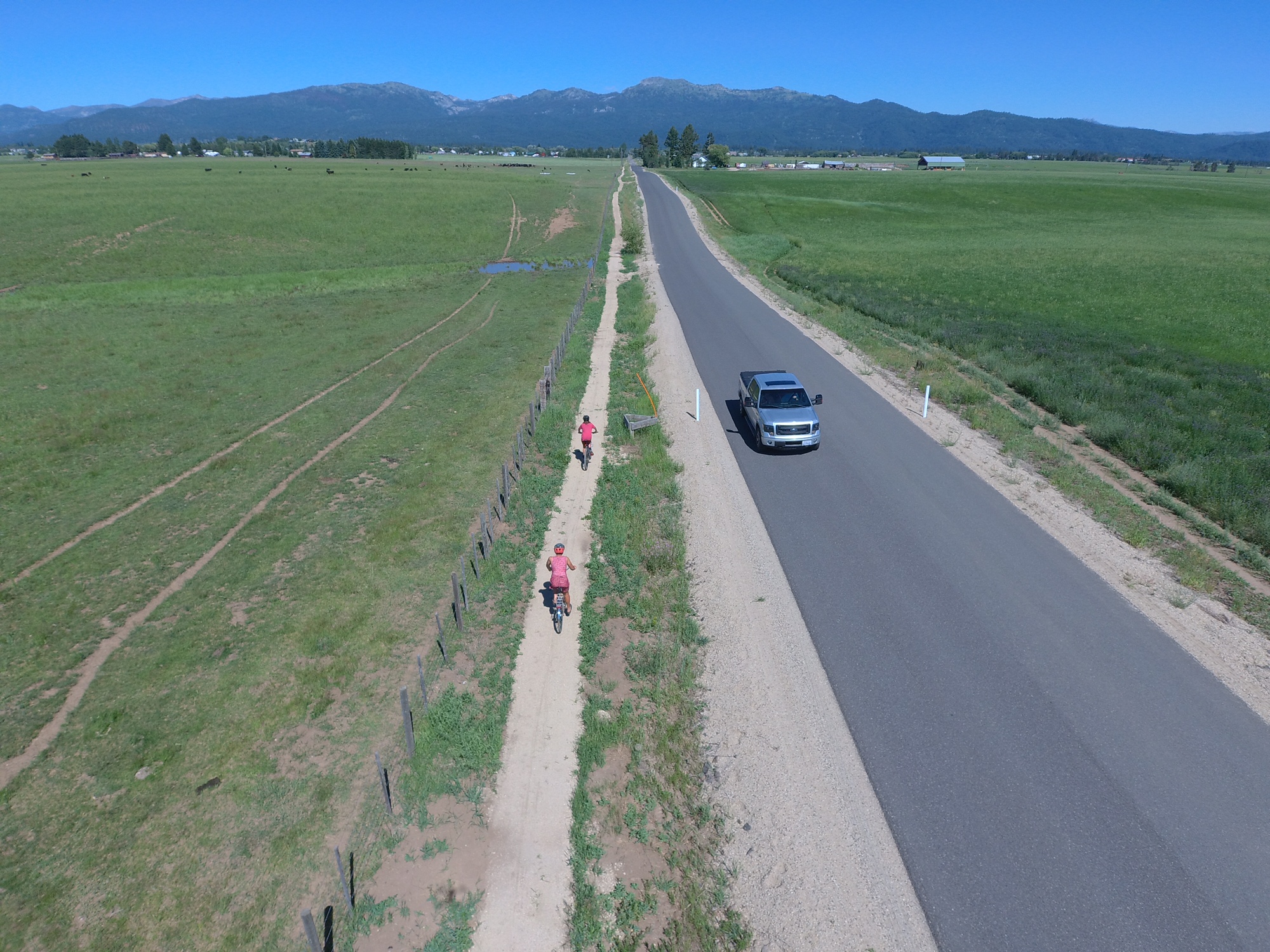
We managed to escape for 4-day trip on the Lower Owyhee River two weeks ago under mostly sunny skies. Felt lucky to be out there in one of my favorite spots with my partner Wendy, my son Quinn rowing his own raft, and several other friends, Liz Paul and Norm Nelson. 

We launched on a Thursday morning, so it wasn't too busy at the boat ramp in Rome. There must have been at least 200 vehicles in the parking lot, though, so clearly, the Owyhee River has been popular this spring season! 

Because of deep snow in the Owyhee and Jarbidge-Bruneau river basins last winter (285% of normal snowpack in the Owyhee and 268% in the Bruneau watershed as of April 20), this spring offered a rare chance to float those rivers for a longer window of time than normal when the water is high enough to go (March - June). If you don't have your own raft and whitewater gear, consider going with an outfitter. 

I'd recommend Far & Away Adventures, Wilderness River Outfitters, Barker River Expeditions, and ROW Adventures. Please see a press release and blogpost that I wrote for the Idaho Outfitters and Guides Association.

Wendy enjoys the Owyhee River canyon at our campsite below Montgomery Rapids. 

Closing in on Memorial Day weekend, the Owyhee River has dropped to 1,600 cfs and it's continuing to slowly decline, so the window for rafting the river is closing over the next few weeks. Once it drops below 1,000 cfs, it's very rock and slow. The Bruneau River, however, is still running high at more than 2,000 cfs, so the window of time to run that river will extend well into June.  

One of the big advantages of floating the Lower Owyhee is that you follow a paved road (U.S. 95) to the boat-launch site in Rome, Oregon. To float the upper forks of the Owyhee, you have to drive for many miles on unimproved 4WD dirt roads that turn into major quicksand-like gumbo after lots of rain. So we had no worries about being able to reach the river last week, even though it had been wet. 

We took four days to float 48 miles to the Birch Creek takeout, upstream of Owyhee Reservoir. At a flow of 3,000 cubic feet per second (cfs), with hardly any wind, it was not too hard to make our river miles. 

The weather turned a bit on Day 4 with clouds and cooler temps in the morning.

I watch the weather closely for our trips on the Owyhee because when it's nasty out there, it's not fun. I've encountered driving rain, headwinds, thunder and lightning in previous trips. But we nailed the nice weather window this time around. Grateful for that!  

At 3,000 cfs, many of the rocks were covered with cushy flows. From a whitewater perspective, it's a pretty easy and mellow level with good current and fun waves.

The Lower Owyhee has mostly Class 2 rapids, with a few Class 3's and one Class 4, called Montgomery. I would rate that Class 3+ personally. Montgomery is not that hard. You have to pull away from a left-side wall as the current races around a left-hand bend. It's a pretty straight-forward maneuver, compared to Class 4 rapids that require multiple maneuvers around rocks or holes.

Quinn cooked up a feast of eggs, sausage and blueberry pancakes on the morning of Day 2. 

We had four major highlights on our trip:

1. Birds of Prey were everywhere! Golden eagles, kestrels, northern harriers, prairie falcons and red-tailed hawks were flying around the cliffs, diving toward the water and nesting in the cliffs. Plus, we saw pairs of geese on virtually every corner, some with goslings, a few pairs of mergansers and some mallards.

2. Volcanic rock formations on the Lower Owyhee are spectacular. The types of rock spans from black basalt lava similar to the Jordan Craters, to rhyolite red cliffs, basalt cliffs and many spires, hoodoos and other formations. It's fun to just stare in awe at these features and feel small.

3. Deep snow and April rains made the desert landscape the deepest shade of green imaginable. We must have caught the green-up at its peak. But the flowers were just starting to pop. Arrowleaf balsamroot was blooming everywhere.  

4. Camping out, campfires, S'mores, great meals and great people. I love camping out in general. Hanging out and relaxing in camp is one of my favorite things. My son Quinn cooked up a feast for a dinner and breakfast; that was nice to have him pitch in like that. He's put a lot of effort into learning new recipes. 

If you go, make sure you have enough time to do some side-hiking. The area around Pruitt's Castle is a great place to hike, Hike-out camp is another sweet hiking spot early in the trip, and below Whistling Bird Rapids, there's a sweet campsite with a way to hike to the top of the rim and enjoy big views of the canyon. From that viewpoint, it's amazing how small you can feel, being a tiny little speck amid the giant Owyhee River Plateau.

All I can say is getting away on an Owyhee or Jarbidge-Bruneau trip is good medicine for the soul. And you know, right at that moment, that you're extremely fortunate to experience it.

Side hiking around Pruitt's Castle

- SS

Thursday, May 4, 2023

Support Valley County Pathways in its quest to build a valley-wide trail system from Cascade to McCall

New "singletrack sidewalk" trail along Heinrich Lane, south of McCall 

Hi all,

On the fourth and final day of Idaho Gives, I'd like to encourage you to support Valley County Pathways, a nonprofit group I've been leading for almost 20 years.  

Our vision is to build a 70-mile, valley-wide trail system from Cascade to McCall and New Meadows, where we could connect to the Weiser River Trail. 

Put another way, our quest is to build a trail system that matches the grandeur of Long Valley.

For this year's Idaho Gives campaign, our goal is $15,000. We've received a pledge from a trail supporter who will match all of our contributions up to $15,000, for a total potential of $30,000. 


Our new video tells our story. 

We are inspired by the Boise River Greenbelt, the Wood River Trail and the Trail of the Coeur d'Alenes. Those long-distance trails are the pride of their communities, and anyone and everyone can enjoy them. 

My feeling is we have 10 years to get a valley-wide trail system in place in Valley County, or we may never get it done. We need to act now! And that takes money! 

I got started with Valley County Pathways in 2004, not long after the first $10M open space measure passed for the Boise Foothills. I was heavily involved in that open space campaign, and I still feel like it's one of the most important things I've done in my life. It was so cool to be part of a broad grass-roots effort that got embraced by the whole Boise community. 

From that experience, I learned that we can shape and enhance our communities and landscapes with new trails, open spaces and wildlife habitat with a LOT of DEDICATION and HARD WORK! 

I've been trying to walk the talk for 30 years. In 1992, I was the founding president of the SW Idaho Mountain Biking Association (SWIMBA), when Ridge to Rivers was just getting started. We all wanted to improve our trail systems. SWIMBA partnered with Boise REI and R2R to build Shane's Trail, Sidewinder, Trail #1 over to Bob's, Redtail Ridge, and Seaman's Gulch trails in the 1990s. 

Erin and Ed Roper ride in the grand opening of trails in McCall, a VCP event. 

At the same time, I was producing new trail guides like Mountain Biking in Boise, Mountain Biking in McCall, and Mountain Biking in Idaho (80 rides statewide).  

So I was a pretty well-traveled trail guy when I started working full-time for Tamarack Resort in government affairs in 2003. I knew there was an abandoned railroad line that ran through the middle of the valley, and I saw the abundance of public land along the western shoreline of Lake Cascade. I read that the Bureau of Reclamation recommended a walking/biking trail around Lake Cascade in a resource management plan, and my eyes just about popped out of my head! 

We started Valley County Pathways at a time when the Rails to Trails movement was taking off big-time nationwide. 

Eleanor Putman speaks at the trail dedication in 2006
on the north end of the Crown Point Trail.  

But it turned out that the old rail line from McCall to Cascade had been abandoned in 1979, pre-dating national legislation that gave railroad companies tax incentives to gift rail lines to nonprofit groups for conversion to recreation trails. The old railroad line in Valley reverted to private ownership in many locations, so that has made our work much more difficult. 

A few landowners, including the Putman Family and the Whiteman Family, have gifted old RR line property to Valley County Pathways, for which we're eternally grateful.

Long story short, since 2004, we have built the bookends of a trail system in Cascade and McCall. Now we're working on bridging the gaps in the middle of the valley. 

Hugh Fulton, right, and Damon Yerkes on the Boulder Creek Trail. 

Currently, we are partnering with Valley County Parks and Recreation to craft a 5-year and 10-year build-out plan for the valley-wide trail system. We know the price tag will exceed $5M.      

I'm super excited about the whole thing. 

There's a ton of state and federal money available right now for trail projects. We need private funds to provide match for projects, provide steady upkeep on our trails, and to assist with trail construction. We also partner with our friends with the Central Idaho Mountain Biking Association, the West Central Mountains Economic Development Council, the McCall Chamber of Commerce, the City of McCall Parks and Recreation Department, the City of Donnelly, and the community of Cascade to stretch our trail dollars as far as possible. 

I don't usually ask people to donate to any particular cause in my blog, but this is a case that's dear to my heart. Please do what you can for Valley County Pathways! 

Thank you! 
- SS 
The North Valley Rail-Trail doubles as a xc ski, snowshoe and snow bike trail.