Showing posts with label Cottonwood Creek Trail. Show all posts

Thursday, May 13, 2021

Station Creek, Cottonwood Creek National Forest hikes are tailor-made for a warm weekend in Boise


Wendy and Huck enjoy the view on top of the first ridge on the Station Creek Trail.

Hi all, 

It appears we're in for a bit of a heat wave this weekend, comparably speaking, with high temperatures in the low to mid-80s Friday-Sunday in the Boise Valley. It'll be in the 60s and 70s in the mountains around McCall, Stanley and Sun Valley.

Getting out early on Boise Foothills trails will be the charm this weekend, or heading to slightly higher elevations would be a good idea, too! 

To that point, I'm recommending two hikes in the Boise National Forest -- Station Creek and Cottonwood Creek -- for my outdoor tip of the week, plus I'll recommend a few other destinations that'd be perfect right now (below). 

Station Creek Hike

Station Creek Trail is a beauty, coarsing through a continuous layer of green on the forest floor, while stately ponderosa pine trees provide shade in the canopy overhead as you're climbing the mountain. Arrowleaf balsamroot is blooming in bright yellow along the way. It's a 7-mile out-and-back hike to the top of Bald Mountain, or roughly 5 miles out and back if you hike to the first ridge overlook. Hiking time: 3-5 hours round-trip. Rated: Moderate (strenuous in a few places)

If you go to the top of 5,122-foot Bald Mountain, you'll climb 2,000 vertical feet along the way. That's a very reasonable climb for most people who are in decent shape. Just take your time, breathe, and enjoy the scenery!

The trailhead is located directly across the Banks-Lowman Highway from the Garden Valley Ranger Station - hence the name, Station Creek! 

The well-maintained trail will take you to the top of the first ridge, and then there is a more faint elk trail that follows the lay of the land to the top of Bald Mountain. It's easy to find your way. 

Be sure to pack plenty of water and bring a lunch/snacks for the summit!


Steve and Huck on top of Bald Mountain with its trademark weird thingy on top.

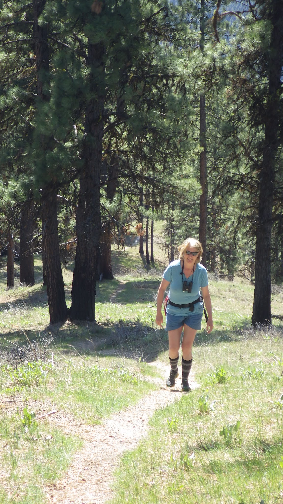
Wendy enjoys the walk on a classic ponderosa pine ridge.

Bald Mountain, just shy of a mile-high ... good early-season hike

Cottonwood Creek 

Prior to some wildfires that swept through the Cottonwood Creek drainage, the Cottonwood Creek trail used to be quite the gem. It had a million creek crossings, but in between, it was much like Station Creek. Since the fires, the trail has gotten more brushy and falling into disrepair. Nevertheless, the first several miles are doable. But the full enchilada, which is more like 10 miles to the top of Thorn Butte, is not recommended. 

Still, if you haven't been up along Arrowrock Reservoir to the Cottonwood Creek Trailhead, it's worth the trip just to check out the countryside. 

Directions: Take Idaho 21 to the high bridge over Lucky Peak and turn right. Go about 15 miles along Lucky Peak and Arrowrock reservoirs to a junction with USFS Road #377. Go left and follow the road 3 miles to the Cottonwood Creek trailhead. There's a small parking area there. 

Possible side trip: In this area, you're close to the Mount Heinen trailhead, if you're feeling more ambitious and want to tackle a challenging 10-mile climb to the Heinen summit. See my post about this hike, it's one of the four Boise Grand Slam Peaks. 

Cottonwood Creek guard station

Beaver pond on Cottonwood Creek

Some other recommendations ... 

  • Any of the Boise Grand Slam peaks would be great right now. 
  • 80 degrees means it's time to get tuned up on the river! Middle Fork Payette, South Fork Payette and Main Payette would be great right now. I noticed that Cabarton is only running about 650 cfs. Mid-summer flows are usually 1500-1800 cfs. 
  • Salmon River is running 20,000 cfs at Whitebird ... if it's going to come up any higher, that might happen this weekend with the warmer temps. But not much of a peak!
  • Go past the Cottonwood Creek turnoff on the Arrowrock/Middle Fork Road and continue up to the Sheep Creek trail. That's a great hike, just quite the drive to get there. 

FYI - Steve and Mike Cooley, recently retired from George's Cycles, will appear on the KTVB-TV Viewpoint program on Sunday, talking about road biking and mountain biking in the early days of Boise becoming a bike town. 

Have fun!
- SS

Thursday, April 7, 2016

Right here in our backyard: Cottonwood Creek combo trip by Arrowrock Reservoir

Confluence of Middle and South Forks of the Boise River on Arrowrock Reservoir
Lots of sweet car camping spots next to the reservoir and in Cottonwood Cr. canyon 
Cottonwood Creek trail 
Trailhead is marked on Forest Road #377
Saw a few beaver ponds along the way ... 
Hi all,

It looks to be a fabulous warm, sunny weekend -- perfect conditions for doing just about anything outside.

Beyond the obvious things to do close to home, like walking, running or biking on the Greenbelt, SUP'ing at Veterans Pond or Quinn's Pond, early-season kayaking or rafting on the Payette River, or hiking, running or biking in the Boise Foothills, I'm recommending a combination hiking/biking/camping/fishing outing in the Cottonwood Creek area, near Arrowrock Reservoir.

This would be an opportunity to jet out of town -- ideally with your camping gear, groceries for a BBQ, plus a stash of your favorite beverages in an iced cooler -- and do a combination trip in Boise's backyard. The Boise River is filling Arrowrock and Lucky Peak Reservoirs quickly, so the water level at Arrowrock is ideal for hanging out in lawn chairs in the sand at the water's edge, fishing from shore (or from a boat), and car camping in some primo spots right next to the water.
trip map (click to enlarge)
The Cottonwood Creek Trail is one of the closest hiking/biking/horseback riding trails to Boise in the Boise National Forest. It's featured in Boise Trail Guide: 90 Hiking and Running Routes Close to Home and Mountain Biking in Boise. The trailhead is about an hour from the eastern edge of Boise, only because of the twisty dirt road along Arrowrock Reservoir. That road is pretty darn smooth right now, so it's not that awful washboard shake-out-your-molars-type of experience. It's about 32 miles from Boise to the trailhead.

Detailed directions: Take Idaho 21 east, across the Mores Creek bridge, and then turn right on USFS Road #268, the road to Spring Shores Marina. Drive 15 miles on the road until you reach a junction with Forest Road #377. Turn left and follow that road 3 miles to the Cottonwood Creek trailhead on the right. There are camping spots at the trailhead and along the last 3 miles to the trailhead.


Lots of elk sign 

Creek has some flat benches for camping

Huck flushed a few grouse
Cottonwood Creek trail is kid- and family friendly. It's a singletrack that climbs for 10 miles up the creek bottom through a ponderosa pine forest that's been burned in places, and left intact in others. If you were to bite off the whole hike or bike ride, you'd climb over 3,800 vertical feet to the top. I'd rate that as super strenuous for hikers and advanced/expert for mountain bikers. But you don't have to scale the whole thing ... you could just hike or bike uphill for as long as you want, and turn around and come back.

You could approach this trip several ways:

  • Drive up along Arrowrock Reservoir toward Cottonwood Creek canyon, snag a car-camping spot to your liking in the morning, set up camp to establish your spot, and then go for a day hike. Bring your fishing gear and BBQ stuff for later on. 
  • Break in your body for backpacking ... backpack up Cottonwood Creek as far as you want to a suitable camping spot that you like, and enjoy hanging out in the canyon. Thorn Butte Lookout (elevation 7,515 feet ) is at the top of the hike, if you want to go for it! 
  • Head up to Cottonwood Creek for a day hike, take a quick dip in the reservoir after the hike, and then head back to Boise. 
  • Drive up the Middle Fork Road past the Cottonwood Creek turnoff, look for a great car-camping spot along the Middle Fork, maybe hit a hot springs along the way, and enjoy the weekend. You can take the road all the way to Atlanta. The Idaho City entry points are probably still snowed-in.  
  • For mountain bikers, I would normally doing the Thorne Butte-Cottonwood Creek clockwise, meaning riding roads and two tracks to the top of Thorne Butte, and descending on the creek. But the top of Thorn Butte is still snow-packed, so you couldn't do the full loop. That should be doable in a few weeks. So for now, try an up-and-back on the Cottonwood Creek trail.  

There you have it! Enjoy the weekend!
- SS