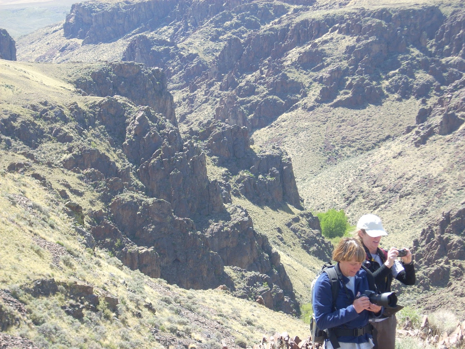
 |
| Amy and Robin apparently thought this spot was photogenic! Between the Creeks in the Owyhees. |
 |
| Wendy getting ready to take flight on top of a mountain above Toy Pass in the Owyhees |
It's SO NICE to see the hot weather moderating and the skies clearing of smoke! The Boise forecast is calling for highs in the 60s on Friday and Saturday, and 70s on Sunday. That's almost unbelievable considering the string of HOT weather we've had nearly continuously through July and August ...
So my recommendation is to enjoy the cool temperatures and plan a hike this weekend in the Boise Foothills or the Owyhees. All of these hikes are detailed in my guidebooks, Boise Trail Guide: 90 Hiking & Running Routes Close to Home, and The Owyhee Canyonlands, an Outdoor Adventure Guide.
Here are my recommendations for five hikes guaranteed to please:
1. Hulls Gulch National Recreation Trail - Distance: about 5 miles or less. Difficulty: Moderate. Time travel: You make the call. Take the kids and the dog and go for a hike on the Hulls Gulch National Recreation Trail, starting from the BLM motorcycle parking lot about 3 miles up Eighth Street from the North End of Boise. Take the singletrack trail up the gulch, pausing to learn tidbits about geology and nature from the interpretive signs. Eventually, you'll come to a fork on the trail, go right to see the headwaters. Maybe the creek will be running? Turn around and return the way you came.
 |
| Exploring granite outcroppings above Hulls Gulch |
3. 5 Mile Creek-Watchman-Three Bears Loop - Distance: 6 miles. Difficulty: Moderate to strenuous. Time Travel: 2.5-3 hours. Drive up Rocky Canyon Road from the end of the pavement to the Five Mile Trailhead on the left. The hike starts here. The loop brings you right back to your rig. Pretty cool. Hike up Five Mile Creek several miles to the Orchard Junction, keep going straight along the creek, and the trail turns into Watchman at the top of the steep hill. Follow Watchman as it contours around the mountain, visits another creek, and then descends to the top of the Three Bears grade. Make sure you go left at the junction with Trail #6. Take a breather at the top of the grade, and then it's all downhill to Three Bears junction at the saddle, go left and drop down to Rocky Canyon Road. Go left on the road, and your car is around the corner.
 |
| Three Bears Trail heading back to Rocky Canyon Road rounds out the Five Mile-Watchman Loop |
 |
| Top of the mountain to the west of Toy Pass |
- SS


No comments:
Post a Comment