 |
| Our kids mess around in the rocks above the draw ... |
 |
| Hiking into Sage Creek from the trailhead. |
 |
| One of many caves you'll see in there. |
 |
| Balanced-rock features are everywhere in the middle of the canyon. |
The slighter warmer, spring-like weather has been excellent for hiking, running and biking in the Boise Foothills. People are loving it, and they're out there in big numbers! And for good reason, spring is a perfect time to get out hiking, biking and running! March-June also is the perfect window of opportunity to explore the Owyhee Canyonlands before it gets blazing hot in July and the rattlesnakes emerge.
This week, I'd like to feature a couple of cool hikes in the Owyhees in the Sage Creek area, near Succor Creek State Park. Sage Creek is featured in our new guidebook, the Owyhee Canyonlands: An Outdoor Adventure Guide. It's a low-elevation destination, with tons of unusual and colorful volcanic rock and ash formations, and it's a kid-friendly and family friendly hike.
This is what I said in the book: "Sage Creek is a hidden jewel chock full of spectacular volcanic rock and ash formations in the creek-bottom and on the mountainsides as you hike along the creek ... One of the key highlights in Sage Creek is that you'll encounter multiple balanced rock features, some of them obvious phallic-type symbols, as well as spires, cliffs, fins and caves."
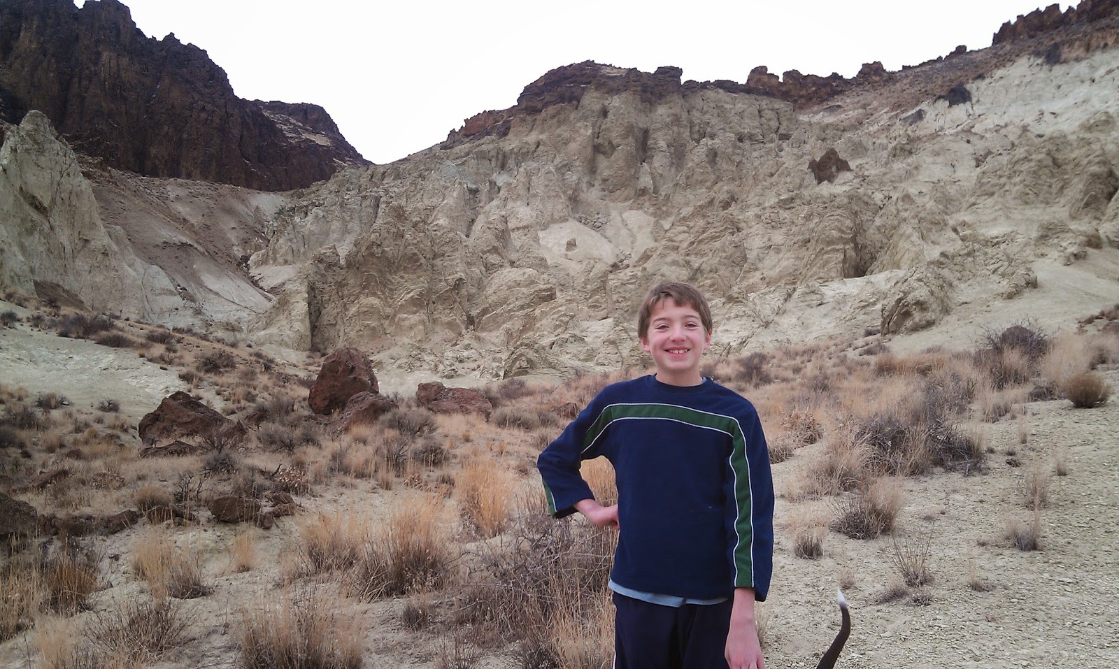 |
| My son, Drew, loved the hike. |
How to get there: Take I-84 to the ID 55 exit in Nampa, heading west toward Marsing. Go west on ID 55 and and Turn right on Chicken Dinner Road, then left on Homedale Road, and go to Homedale. Follow State Highway 19 west of Homedale, and then Highway 201 in Oregon, to a signed turnoff for Succor Creek State Park on the left. Head south on the dirt road. It's 12.1 miles to the unsigned right-hand turnoff for the Sage Creek Trailhead. There is a lone scrubby cottonwood tree at the turnoff. Follow the primitive two-track road over several creek-crossings to the trailhead .9 miles from the Succor Creek Road.
 |
| Nice rhyolite cliffs with Wendy in the foreground. |
Hike #1 - 2.5-miles out and back
Cruise up the creek-bottom of Sage Creek, picking your way up the draw as you like. Hike at least a mile upstream to see the balanced rock features on the mountainsides above the draw as well as many other interesting rock formations. The volcanic ash flows in the area have turned different shades of white, orange and green over time. These formations are very erosive ... you can scratch the ash with your fingernails. Wear shoes that can get wet ... I doubt there's much water in the creek-bottom, but you will encounter some pools along the way.
Cruise up the creek-bottom of Sage Creek, picking your way up the draw as you like. Hike at least a mile upstream to see the balanced rock features on the mountainsides above the draw as well as many other interesting rock formations. The volcanic ash flows in the area have turned different shades of white, orange and green over time. These formations are very erosive ... you can scratch the ash with your fingernails. Wear shoes that can get wet ... I doubt there's much water in the creek-bottom, but you will encounter some pools along the way.
 |
| Hiking down-canyon back to the trailhead. |
Hike #2 - 6-mile loop
From the end of the road, hike up-canyon and cross the creek to the left
side. At mile .2, climb up the left-hand draw. It's a super-cool hike through
many rock formations as you ascend the draw. It's about 2 miles to the top of
the saddle near McIntyre Ridge. Climb to the top of McIntyre Ridge if you'd
like. This area overlooks Succor Creek State Park to the east and Three Fingers Rock and many other features to the west. On the way down, descend the ridge to the left of the draw you climbed up, and enjoy
a cool hike down into the draw. You'll pass by the "official"
balanced rock on your way into the draw. Turn right at the bottom of the draw,
and hike back to the trailhead.
 |
| Family pic in Sage Creek. November 2012. Kind of rare to get our 4 kids together for a family hike! L-R, Drew, Tom with our pointer Huck, Wendy, Elena, Quinn, Steve |


No comments:
Post a Comment