 |
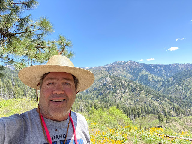
| Station Creek winds through ponderosa pines on the way up a long ridge. |
Hi all,
Wendy and I thought we'd hike the lovely Station Creek Trail in Garden Valley last Saturday to enjoy a 6-mile day hike in a forested setting.
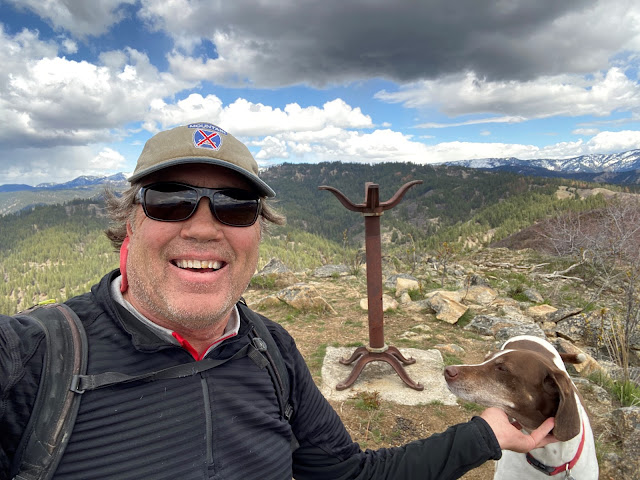
We were delighted to see the lower-elevation mountains in Garden Valley greening up for springtime recreation. We didn't encounter any snow on our hike up Station Creek Trail to the initial high point and saddle, or on the way up to Bald Mountain - another mile farther and an extra 500 feet of elevation gain.
We dodged small squalls that were happening from time to time, but generally, it was a perfect day for spring hiking, with cool temps in the high 40s to low 60s, depending on the moment.
If Station Creek Trail is in prime shape for hiking, then I'd also recommend two other nice hikes nearby - One Spoon and Lightning Ridge Trails. I've blogged about all three before.
 |
| Steve and Huck on top of Bald Mountain ... elk sign everywhere! |
So that's my outdoor tip of the week - go check out any one of those three trails and enjoy hiking in a forested setting with creek water flowing below, wildflowers and shrubs beginning to bloom, and maybe even some morels popping up if you're lucky!
The Trailhead for Station Creek is directly across from the Banks-Lowman Highway from the Garden Valley Ranger Station. It takes about an hour to get there from Boise. You can stop at the Garden Valley Chevron for any last-minute supplies before you head for the trailhead.
Travel time on the Station Creek is about 5-6 hours, out and back. It's shorter if you just go to the initial high point about 2 miles up the trail. I rate the hike "moderate to strenuous" because there are some short, strenuous pitches.
 |
| Lunch on a big slab of granite near the top of the One Spoon hike with Wendy, Mark and Laurie. |
One Spoon Trail - Click on a previous post where I wrote about hiking One Spoon, including a map and driving directions, and also tips on floating the Middle Fork Payette River, Tie Creek section. The hike is 6 miles round-trip with up to 2,600 feet of vertical gain. You'll walk through ponderosa pine trees and see lots of cool big granite rocks along the way.
 |
| Lightning Ridge affords vast views of the Boise National Forest |
Lightning Ridge Trail - Wendy and I hiked Lightning Ridge Trail last spring. This trail goes for quite a ways, so the distance is kind of up to you. We went about three miles up the trail to an initial high point, turned around and came back to the trailhead.
Difficulty: Moderate to strenuous
Driving directions: Take ID 55 to Banks. Go left in Banks and take the Banks to Lowman Road to the Crouch turnoff. Head up the Middle Fork Payette River Road (USFS #698) to a marked junction with USFS Road #611, the Lightning Creek Road, on the right. Follow the dirt road about five miles to the trailhead where an earthen barrier prevents further vehicular traffic.
Have a great time exploring these trails! Bring a lunch and plenty of water for your day trip.
Both Station Creek and One Spoon are featured in my guidebook, "Boise Trail Guide: 95 Hiking and Running Routes Close to Home."
- SS


.PNG)
.PNG)
.PNG)
.PNG)
.PNG)


