Showing posts with label spring hiking. Show all posts

Thursday, April 13, 2023

Lower Boise Foothills trails finally open for hiking and biking! 3 hikes/rides to explore!

A bearded Steve at the summit of Shane's Trail on an April mountain bike ride.

Hi all, 

With the dramatic turn from winter to spring weather for a couple of choice days last weekend - featuring high temperatures in the mid-70s - the trails in the lower Boise Foothills dried up and now they're ready for hiking, biking and trail-running. Finally! 

In many years, the trails in the Boise Foothills have dried up in late February to early March, but because of the long, cold snowy and icy winter we had in 2022-23, spring is coming late! 

And that's OK! 

Boy, it felt great to get out and ride my mountain bike on Saturday morning! It was still on the cool side, but when I saw that Ridge to Rivers had given the lower trails the green light, I was ready! I rode from Camelsback Park to Crestline and Sidewinder and took Red Cliffs back. The trails were bone-dry the whole way. 

I saw hikers, mountain bikers and runners everywhere. As the day got warmer, I have a feeling that the trails got even more busy! 

Central Ridge trail in Military Reserve

Man, it felt good to climb, get my lungs and heart pumping in the red zone, and enjoy another one of my favorite gravity sports on the way down!  

Remember that it's only mid-April, and we'll be subject to more rain and even some snow.  Pay attention to the Ridge to Rivers trail reports on Facebook if you're in doubt. 

For my outdoor tip of the week, I'm recommending three hiking and biking loops in the foothills. After a snowy surprise Thursday morning, it's supposed to be a really nice weekend Friday-Sunday with High Pressure aloft, mostly clear skies and warmer temps each day through Sunday. High temps are 56 degrees on Friday, 65 Saturday and 75 on Sunday. Now we're talking! 

And then the weather goes to hell on Monday-Tuesday of next week. So get out and enjoy it this weekend when you can!

Sharing the trails respectfully with others is important in the foothills. Thank you! 

Before we get into the rides/hikes, a couple of reminders: 

1. Be a good trail ambassador! "Be Kind" when you're out using the trails, share the trails respectfully with others, and smile and say "hi" when you pass by people. A little bit of courtesy goes a long way! 

2. If you're mountain biking, remember that all uphill traffic has the right of way. If you're coming down and you see people coming up, stop, step off the trail and let them pass by, no matter if they're walking, running or biking.

3. If you come up behind someone and need to pass, say something like "coming up" and let them know you're coming so they can step off the trail for you to pass.  

4. Polecat Gulch is changing back to counter-clockwise direction this year. You'll see the signage out there. I preferred riding it clockwise, but oh well. I do like how the one-way direction on Polecat has reduced conflicts and, no doubt, collisions. It's a tight, narrow singletrack in places on steep side-hills without much in the way of sight lines. The one-way trails are safer. 

5. Stay off muddy trails. I already covered that above, but I'm saying it again. If things are wet, go for a road ride or ride the Greenbelt. 

Now for the recommended hikes/rides: 

1. Best for hiking: Kestrel-Red Cliffs Loop -  Camelsback - Kestrel-Crestline-Red Cliffs Loop - Distance: 5 miles. Rated moderate for hikers and runners. Rated intermediate for biking. Hiking time, 2-2.5 hours; Running time: 55 minutes; Biking time: 45 minutes. This is a popular loop with hikers, runners and bikers. Start at Camelsback Park off of Heron and 13th Street in North Boise. Head over to the trailhead in the east side of the park, and follow Owl's Roost Trail on the right by the ponds. Follow Owl's Roost to the Foothills Learning Center area. Turn right at the junction with Kestrel, and climb Kestrel to Crestline, it's about .6 miles of continuous climbing. Turn left onto Crestline, climb a short abrupt hill, and then watch for a left-hand junction with Red Cliffs in less than a half mile. Turn left onto Red Cliffs and enjoy a fun descent for over a mile back to Hulls Gulch. Follow Hulls back toward the Foothills Learning Center, cross 8th Street, and take Chickadee Ridge back to Camelsback Park.

Map of Kestrel-Red Cliffs loop from Steve's book, "Boise Trail Guide" 

2. Best for hiking or biking: 
Jumpin' Jeepers Figure-8 Loop - 6.75 miles. Rated moderate with strenuous sections. Rated intermediate for biking. Hiking time, 2.5-3 hours; running time, 1:20; riding time, 1:10. This is one of my favorite rides in Military Reserve that connects to Shane's Trail. It's an equally nice run or hike. The name comes from the Boise Police Dept. shooting range at the end of Mountain Cove Road. The unexpected blast from a gun might cause you to jump out of your skin! (It's an archery range now, thank goodness!). 

To start, go to the main trailhead on Mountain Cove Road, after the sharp right-hand corner. Take the Toll Road Trail #27A to #20 Ridge Crest and climb to the top of the hill. Turn right on Central Ridge Trail and climb at a moderate pace to Shane's Junction. Take Shane's #26A to the left, and climb to the top of Shane's. You've climbed 1,000 feet over 3+ miles. Give your puppy a drink and a snack. Descend Shane's for less than a mile, turn right on the Shane's Loop and return to the Central Ridge-Bucktail-Shane's jct. Take Bucktail downhill and enjoy the big GS turns as you wind across a big downhill on a large flat. Bucktail drops into the Central Ridge alternative trail. Go right and then left on that and it'll take you back to the trailhead. It's a great view of Idaho's Capital City as you cruise downhill on that sagebrush slope to the trailhead.

Map of Jumpin' Jeepers Figure 8 Loop from Steve's book, "Boise Trail Guide"

3. Best for hiking or biking: Polecat Gulch Loop - NW Foothills. This area was a key new 834-acre open space reserve purchased by the City of Boise in 2002 with funds from the 2001 Foothills Levy. It opened up a great system of trails in an area that had been previously unaccessible because its private land status. The trails in Polecat are more moderate than many in the foothills, so that's another draw. This area also is home to albino mule deer. I've seen them myself!

How to get there: Take Hill Road to N. Collister in NW Boise. Turn north on N. Collister and proceed to the Polecat Trailhead at the end of the road. There is a restroom in the parking lot.

The Polecat Gulch "finger" loop as I call it in my guidebooks, Boise Trail Guide and Mountain Biking in Boiseis approximately 6 miles long. It circumnavigates the whole gulch. I call it a finger loop because the trail snakes around little ridges that extend like a finger from the top of the gulch. It takes about an hour to do the loop on a bike, 1.25 hours for trail-runners, and several hours if you're hiking.

Huck's about to take flight on a windy spring day in the Boise Foothills.

There you have it! 

A couple of other things going on this weekend: 
  • Spring skiing at Bogus Basin. Lift tickets are available online if you don't have a season pass. 
  • Rivers are rising, if you haven't noticed! Experienced kayakers and surfers are enjoying the play waves at the Boise Whitewater Park and the Payette River would be fun, too. The South Fork and Main Payette are definitely running at boatable levels and rising! 
- SS 

Wednesday, March 29, 2023

Hike or bike the Snake River Trail and look for eagles, hawks and falcons in SW Idaho

Wendy checks out the scene at Discovery Point with the Snake River Canyon in the distance.

Hi all, 

The weather looks really wet and rainy Saturday and Sunday in the Boise Valley, but Friday looks good with partly cloudy skies and a high of 52 F. 

A lot of people are totally sick of the snow and winter weather, but there will be a number of events going on this weekend with Tamarack Resort holding the Idaho State Pond Skim Championship on Saturday, April 1st. Should be blizzard-like conditions for the event with plenty of music and a hearty party atmosphere. Tam is closing on April 2, but will remain open for a bonus week for Boundless season pass holders and it'll provide discounted lift tickets in the bonus week. Plus people with a season pass to Bogus or Brundage can get a lift ticket at no charge. 

They've had sunshine for the Tamarack pond skim event in the past, but they won't have it this year. 
100 percent chance of snow with 10-16" of new expected. (photo courtesy Tamarack Resort)
Brundage Mountain will be hosting the 2023 BREWlympic Games on Saturday, April 1st. There are relay races in the morning, but the main event happens at 2 p.m. when eight teams of four face off in the Gelande Quaff tournament, sliding huge mugs of beer down a long table to a teammate who catches the mug and chugs the beer. "Strict rules apply and style points are key to victory," Brundage officials said. Gaper Day costumes are encouraged for competitors and spectators alike. 

The forecast Saturday at Brundage is very similar to Tamarack - 10-14" of new snow, high temp of 28 degrees, and 100% chance of snow. Brundage is closing for the season on April 9th. 

Bogus Basin, BTW, will hosting its on pond skim on Saturday, April 15, and closing day is on Sunday, April 16. 

If you're curious about the snowy forecast for this weekend, here's my latest forecast for the Idaho Daily Snow via opensnow.com

View of Swan Falls Dam and looking downcanyon. 

In between rain and snow storms (when will spring ever come!?), I'd recommend going down to the Snake River by Swan Falls and hiking or biking the Snake River Trail downriver to enjoy the sights, look for prairie falcons, a variety of hawks and golden eagles. Wendy and I had a nice hike in the Morley Nelson Snake River Birds of Prey National Conservation Area last Saturday. It was chilly with temps in the low 40s and occasional snow and rain squalls, but we did locate a prairie falcon eyrie in the rocky cliffs with our binoculars and I got a picture. Score!

We also saw golden eye ducks, wood ducks, mergansers, lots of ravens, pigeons, and red-tailed hawks. Wendy could mention more songbirds. 

Prairie falcon guarding the nest ... needed more than a 200 mm telephoto lens.

We hiked on the Snake River River trail a couple of miles and enjoyed seeing the green shoots of cheatgrass sprouting in the canyon (just anything green was nice to see), the sound of the Snake River flowing downriver through small riffles, and the sounds of bird life in the canyon.     

Trail side view of the Snake River canyon. 

Soon, I'm planning to go back after things dry out and ride my mountain bike to Wees Bar and take pics of the Native American petroglyphs on the south bank of the Snake. Idaho Power has created a very nice public walkway at Swan Falls Dam for crossing over the dam to the trails on the other side. I'll be writing about that adventure soon. 

BLM trail sign on the east end of the Snake River Trail. It's about 4.5 miles downriver
to Halverson Lake and Centennial Park.  

Directions:
 Take I-84 to the Kuna exit at Meridian Road. Go south to Kuna and follow signs to the Morley Nelson Snake River Birds of Prey National Conservation Area. Stop at Discovery Point, a BLM interpretive area, on your way to Swan Falls Dam to glass for golden eagles. Once at the dam, go downstream on the dirt/gravel road 4 miles to the trailhead. It's a non-motorized trail, restricted to walking, running and mountain biking. 

For hiking, I recommend wearing trail boots or trail shoes. Bring plenty of water and snacks/lunch for your day trip. Enjoy! 

- SS   

Wees Bar area across the river. Native American Petroglyph site. 


Thursday, March 17, 2022

Three Sweet Hikes that Shine in the Spring - Hells Canyon, Rapid River and Mary's Creek/Sheep Creek!

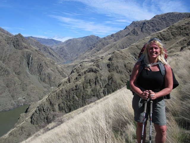
Denise Lauerman enjoys a spring backpack trip in Hells Canyon. 

Hi all, 

Spring is just four days away on Sunday, March 20, so the actual spring season according to the official American calendar is upon us. The trails and roads in the low country are beginning to dry out - in between rain storms - and the weather is warming up into the 60s at times. That gets people antsy for an outdoor adventure. 

For my outdoor tip of the week, I'm recommending three sweet hikes that shine in the spring in SW Idaho:

- Snake River National Recreation Trail in Hells Canyon, starting from Pittsburg Landing. 

- Rapid River Trail in Riggins. 

- Mary's Creek and Sheep Creek in the Bruneau River country.

The weather forecast for this weekend looks sunny on Friday with a high near 60, cloudy and rainy on Saturday, and then clearing and sunny on Sunday with a high of 50. That's the forecast for Boise and Riggins. Even if this weekend doesn't work to visit these destinations, you could wait and visit one of them at another time. 

Snake River National Recreation TrailA few years ago, I wrote about hiking or backpacking 6 miles (one way) from Pittsburg Landing to the Kirkwood Historic Ranch. A friend of mine, Denise Lauerman, and two of her friends backpacked to Kirkwood, and spent a couple of nights camping in Hells Canyon before returning to the trailhead in Pittsburg Landing. 

"It was a great trip -- I can't wait to go back," Denise said.

Hells Canyon, the deepest gorge in North America at over 7,000 feet, stradles the Idaho-Oregon border for more than 100 miles. The mighty Snake River flows through the heart of Hells Canyon and continues on to Lewiston. Hells Canyon is usually the warmest spot in Idaho, and it's also drier than many areas, so it's a good bet for a spring trip. Ditto in the fall. In the middle of the summer, it gets sizzling hot; hence, the name. The austere black rocky canyons also have contributed to the name.

The trip starts with a 4.5-hour drive from Boise to Pittsburg Landing, the trailhead, via ID 55 to New Meadows, U.S. 95 to Whitebird, and then a well-maintained, steep gravel road from Whitebird over Pittsburg Saddle to the trailhead at Lower Pittsburg Landing. Signs will guide you the whole way from Whitebird. Four-wheel-drive is not required.

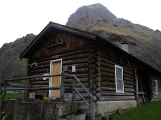
Kirkwood Museum 

It's 6 miles from the trailhead to Kirkwood Ranch. Denise and her friends drove in on a Friday, backpacked to Kirkwood in the afternoon (allow 2.5-3 hours travel time) and base-camped on the grass next to the Kirkwood Museum, where former Idaho Gov. Len B. Jordan and his wife, Grace, ran a sheep ranch in the 1930s.

The museum is definitely worth visiting. Behind the ranch, there is a two-track gravel road that climbs Kirkwood Creek for more than 3,000 feet to a high saddle. This is a great side-hiking opportunity that Denise and her friends climbed on Day 2, seeing all kinds of cool wildlife and landscapes along the way.

On Day 3, they side-hiked to Suicide Point along the Snake River, came back to Kirkwood, strapped on their backpacks, and hiked out. Suicide Point provides great views of the river canyon.

For more information, go to the Hells Canyon National Recreation Area web site. You can purchase maps at the Hells Canyon NRA office in Riggins.

See the full post Hells Canyon hiking 

Rapid River Trail (courtesy Hiking Project

Rapid River Trail in Riggins

This is a beautiful hike along Rapid River when things are greening up and coming to life in Riggins. Here's a description from All Trails. Full length is 8.6 miles out and back. You may not be able to go to the top of the hike, but you could likely hike a couple of hours to a high point that works for you. The trail winds along the river and then climbs up on a high ridge. Great views of the surrounding area. 

Trailhead is next to the Rapid River Hatchery on the south end of Riggins. Watch for signs on U.S. 95 to the hatchery.

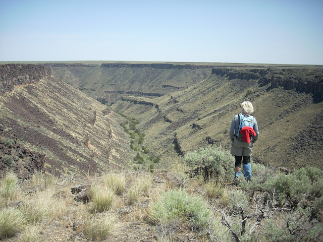
Barb Cochran looks into Mary's Creek canyon, a tributary of Sheep Creek.

Mary's Creek and Sheep Creek
 

Mary's Creek is one of the easiest places to access in the Jarbidge-Bruneau Wilderness. You can do a 8.75-mile loop hike from the Mary's Creek Trailhead to Sheep Creek canyon and back. The route I recommend in my Owyhee Canyonlands book takes you along the edge of Mary's Creek canyon, which features large black lava rock,  and then you drop quickly into Sheep Creek canyon (rhyolite and basalt) where you can have lunch or camp out next to the creek. And then retrace your tracks back to the trailhead. 

You also can camp at the Mary's Creek trailhead or in other BLM dispersed camping areas off the Roland Road.

Getting there: Take I-84 to Mountain Home, then Idaho 51 to Bruneau. Head south on Idaho 51 toward Duck Valley. It's about 40 miles from Bruneau to the signed turnoff for Roland Road on the left side, just past the old bar and junk yard in Grasmere. Go left on Roland Road and take that good-quality gravel road 5.2 miles to Mary's Creek Wilderness trailhead. 

Huck checks out Sheep Creek. 

- SS

Thursday, April 1, 2021

Super Duper spring weekend coming up! Two hikes and Wilson Creek bike ride in the Owyhee Canyonlands + Spring Skiing!

Stopping to check out the cool rock formations along Bingo's Trail, #500,
heading over to Reynolds Creek Canyon. Paul Hilding enjoys the views. 


Hi all, 

Similar to last week's weather, we are seeing warm afternoon temperatures rising a bit more each day to a big crescendo on the weekend. This week, that situation is especially true, with a high temperature of 75 forecast on Friday, 80 degrees on Saturday and 77 on Sunday! WOW! 

Looks like a great weekend to do just about anything outdoors! 

For my outdoor tip of the week, I'm recommending a two hikes and a mountain bike ride in the Owyhee Canyonlands, the last weekend of spring skiing at Tamarack Resort (closing at the end of day, Sunday, April 4), the next-to-last weekend of spring skiing at Bogus Basin, Brundage Mountain and Sun Valley (all closing April 11), and lower Boise Foothills trails.

A few key points from Ridge to Rivers when visiting Boise Foothills trails: 

A few key points to remember:
1) The trails are busy with lots of folks looking for the same experience you are - happiness and relaxation in the Foothills. As such spring time is the perfect opportunity to take the Happy Trails Pledge: https://www.ridgetorivers.org/happy-trails/
2) As you venture higher into the Foothills, you will still encounter sections of muddy trail. Remember to travel through these, not around them so that you don't widen the trails. And please turn around if you encounter longer stretches of mud - there are lots of dry opportunities available in the lower and mid-Foothills.
3) Trail crews and Adopt-A-Trail groups are out maintaining trails now. Please slow down and say hello when you encounter these folks - they are working hard for you.
Enjoy the beautiful spring weather!

Lower-elevation trails in the Owyhee Canyonlands are in great shape right now. A lot of people have been flocking to Wilson Creek for hiking and biking, which is a fine idea. Here's a blow-by-blow description riding the Wilson Creek Northwest Passage Loop, starting from the lower trailhead on Wilson Creek Road. This trail is a strong intermediate/advanced ride, 16.25 total mileage, ride time is 3+ hours, depending on length of stops for lunch, snacks and scenic locations.

Two other locations that I'd recommend in the Owyhees are Succor Creek State Park and climbing Three Fingers nearby. Both of these areas are featured in my guidebook to the Owyhee Canyonlands.

Succor Creek State Park is a popular spot, about 30 minutes from Homedale, Idaho, for families and kids to do a little hiking, exploring caves, checking out the creek and hanging out. You can camp there overnight. Get there early if you want a spot!

Things look quite interesting as you approach Succor Creek State Park. 

Drew had fun with us exploring Succor Creek. Note how the creek is at flood stage. 


Climbing Three Fingers is an easy hike for families and kids. This could be a side trip while you're camping at Succor Creek park, or a day trip destination. You'll continue driving past Succor Creek park for several miles up a hill, and then turn right at an unsigned right-hand junction. Follow that dirt road toward the top, and you'll see a two-track road appear on the left side of McIntyre Ridge Road. This is your two-track trail leading to the top of Three Fingers mountain.

Distance is 2.4 miles round-trip. 833 feet of vertical gain. Time required is about 1.5 hours, depending on how long you hang out on top. We found that it's possible to hike into the trough of the middle finger area for a cool place to hang out and enjoy the view. There was a little notebook inside a canister in that area. Make a note about your group so you can enjoy seeing that in a few years from now.

The two-track trail to Three Fingers 

Great views of "The Big Wide Open" from the top of Three Fingers. 

Three Fingers when dressed in velvety green (courtesy Summit Post) 

Have fun and enjoy the sunshine! Don't forget the sun screen!
- SS

Thursday, March 25, 2021

Really NICE weekend weather - perfect for hiking, biking, skiing ... Golf? Whitewater?

Fresh *pow* at Brundage this week with no crowds ... Don't pack away the skis/boards yet! 
(Courtesy Brundage Mountain Resort) 

Hi all, 

Pick your favorite outdoor pursuit, it looks like a fabulous weekend coming our way in the last weekend of March! For some, it'll be the capper of spring break week for families and kids.

For my outdoor tip of the week, I'm recommending a number of activities where you can't go wrong! 

Spring Skiing is hitting Prime Time this weekend!

We snapped back into winter-mode this week, starting on Monday with 5-6" of fresh snow, and then again Thursday night/Friday, with another 3-6" of new snow at Bogus BasinBrundage Mountain and Tamarack Resort. Sun Valley also got a couple of inches this week. 

So we have fresh powder on the slopes, and now we're heading into a 3-day weekend of full-on bluebird spring skiing! High temperatures will be in the 40s at Tam, Brundage and Sun Valley, and Bogus will be pushing 57 degrees on Sunday! Break out the Hawaiian shirts, spring snow attire, you create it! 

Gonna be warm on Sunday in the mountains! (Courtesy Mammoth Mountain) 

Seriously, now is the time to hit the slopes before the ski areas close. Bogus, Brundage and Tamarack all plan to close on April 11. Sun Valley will close Dollar Mountain after this weekend, and Bald Mountain closes on April 18. 

Backcountry skiing also should be fab Friday-Sunday in full sunshine. If you're skinning up the mountain, be sure to bring your skin wax to keep the skins from picking up giant globs of snow. 

Grooming of xc ski trails continues in McCall and Sun Valley. I checked with IDPR, and grooming of the xc ski trails at the Idaho City Park and Ski Areas has ceased for the last 2 weeks. They may groom one more time next week before calling it good for the season. Nevertheless, the xc ski trails and snowshoe trails are pounded in from months of use, so it's still a great destination to go play in the mountains. 

Early Spring Hiking and Biking 

For Boise Foothills trails, Ridge to Rivers issued the following on Thursday: 

THURSDAY, MARCH 25TH AFTERNOON TRAIL CONDITION UPDATE:
"Trails in the Foothills are saturated and need some time to dry out. Please find other alternatives today.

THE TABLE ROCK AREA TRAILS ARE NOW CLOSED DUE THE LIKELIHOOD OF TRAIL AND VEGETATIVE DAMAGE UNDER THESE EXTREMELY MUDDY CONDITIONS. WE WILL ASSESS CONDITIONS THERE AGAIN TOMORROW AND OPEN AS SOON AS POSSIBLE. "

See the Ridge to Rivers Facebook page for the latest conditions and information. 

Trails will gradually dry out on Friday and this weekend. 

Snake River trail accessible from Celebration Park ... it's quite sandy and scenic!  

Some recommendations for the weekend (click on links for more info.): 

Bruneau Canyon 


And if you haven't noticed ... the snow is beginning to melt and the rivers are rising. There will be people heading out on the Payette River to go kayaking and rafting this weekend (flow level is over 2,500 at Horseshoe Bend), and there will be kayakers and surfers on the waves in the Boise Whitewater Park. It's that time of year! 

So many choices! How about tennis and golf! Gardening? Nah!  

Enjoy! 
- SS 


Wednesday, March 17, 2021

Steep hike to Cervidae Peak close to snow-free; first Grand Slam peak to melt out

Got the first Grand Slam peak notched for 2021!

Hi all, 

Over the last few weeks, with cool, dry and breezy spring weather, the trails are beginning to dry out, especially in the lower Boise foothills and Owyhee front country. I blogged about Ridge to Rivers green-lighting some lower Boise foothills trails last week. 

This week, I thought I'd check on the snow level on Cervidae Peak, typically the first of the Boise Grand Slam peaks to melt out. The summit of Cervidae is 5,009 feet, and today, the peak was mostly snow-free, with patches of snow on top. The trail itself was dry as a bone, with a few long patches of snow covering the trail on the ridgelines within a mile of the top.

Airplane ridge with great views in all directions.

It's always an ass-kicker of a hike since it goes straight up a ridgeline for 2,000 vertical feet over 2.2 miles. Over 500 feet of climbing per mile = STEEP! But that also means it'll provide a great workout, and get your hiking legs warmed up for the season. No pain, no gain!

How to get there: The trailhead is on a road-side dirt pull-out (right-side) past Spring Shores Marina on the road to Lucky Peak and Arrowrock. A two-track road opposite of the parking area is your trail. The hike today took me a little over an hour to the top, and slightly longer on the way down. Maybe my time was a little slower because I was stopping to marvel at the beauty and take pics. 

Lucky Peak was absolutely still and smooth as a glass pane lake-wide today. The deep blue-green color of the water contrasts with blah-looking brown landscape that has yet to green-up.  

Lucky Peak on a calm spring day ... L.P. Nursery is off to the right on the flat.

Viewing the other Grand Slam peaks from the top of Cervidae, it appears the other three are snow-bound for now. Kepros will open up next, then Shaw Mountain, then Heinen. That's the order I would recommend for knocking out those hikes this spring. All of them are delightful through May, until it starts to get hot. Wildflowers on Kepros last year were PHENOMENAL! Let's hope we see that again! 

Arrowleaf Balsomroot going off on Kepros last May. With Quinn Stuebner. 


For background on the Boise Grand Slam peaks, you can check on out my previous blogs on the other individual Grand Slam peaks - Kepros, Heinen and Shaw Mountain/Lucky Peak. You can climb Lucky Peak via the BLM road accessed from Highland Valley Road, via Rocky Canyon Road or Homestead Trail above Harris Ranch. 

The Grand Slam peaks also are featured in my Boise Trail Guide: 95 Hiking & Running Routes Close to Home.  

Tom Lopez, a retired attorney who lives in Boise, was the person who pioneered the Boise Grand Slam peaks as a way to tune-up the legs for a summer of hiking in the Sawtooths and other mountain ranches that are snow-bound right now. Tom's book, Idaho: A Climbing Guide, is the best source of information for climbing Idaho mountain summits statewide. I highly recommend it. 

Mt. Heinen is the hulk of a mountain off in the distance. Still quite a bit of snow. 

The weather in SW Idaho is supposed to be crummy on Friday, but it looks good on Saturday and Sunday with mostly clear skies and high temperatures in the mid-50s. Perfect weather for spring hiking! 

Be sure to keep an eye on the Ridge to Rivers Facebook page for updates on trail conditions. 

Also, if you take your dog to Cervidae, be sure to carry a leash in case there are any mule deer or elk in the area. The trail lies inside the Boise River Wildlife Management Area. Thank you.
- SS

Thursday, May 2, 2019

Four spring hikes close to Boise that'll get your legs broken in for the 2019 season!

Nature Girl: Wendy Wilson enjoys the Five Mile Creek-Watchman-Three Bears hike last Saturday.
Hi all,

My outdoor tip of the week focuses on four spring hikes close to home that'll get your legs and lungs warmed up for the 2019 hiking season!

I detailed the hikes in an outdoors article this week in the Idaho Press. Follow the link to read all about the hikes!

The hikes are:
1. Five Mile-Watchman-Three Bears - East Boise Foothills. 6 miles. About 3 hours travel time. Rated moderate to strenuous.
2. Station Creek to Bald Mountain in Garden Valley out and back. 7 miles. About 4 hours travel time. Rated moderate to strenuous.
3. Hillside to the Hollow Trails. Distance: You make the call. Easy and up.
4. Kepros Mountain out and back. Distance: 10 miles. 4+ hours travel time. Rated strenuous.

All of the hikes are featured in Boise Trail Guide: 95 Hiking and Running Routes Close to Home. 

See the Idaho Press article for more information.
- SS 

Thursday, April 26, 2018

Wildflowers are blooming! Some tips on where to hike and see wildflowers in Boise

The bitterbrush is starting to flower big-time in the lower foothills. 
Wendy takes a breather next to arrowleaf balsomroot in bloom 
Indian Paintbrush blooming in the Owyhees 
Bitterroot blooming in the rocky soil in the Owyhees 
Hi all,

After a beautiful week of sunshine and warming weather, wildflowers are popping up everywhere in the lower Boise Foothills and the Owyhees.

We're seeing the bright yellow bouquet of arrowleaf balsomroot, bitterbrush blooming with mustard-colored flowers, as well as sky pilots, aase's onion and lupine. Out in the Owyhees, you'll see the bright red Indian paintbrush, showy daisies and many more.

Dust off your wildflower guide and take a hike to refresh your memory of our local wildflowers. Here are a number of recommended trails in the Boise Foothills and the Owyhees where you're like to see a diversity of early flowers in full display:

Courtesy HartImages.com
Boise Foothills - All of the lower trailheads are adorned with flowers right now ... west to east, I'd recommend: Seaman's Gulch Loop, Polecat Gulch, Peggy's Trail, Hillside to the Hollow, Owl's Roost-Kestrel-Crestline-Red Cliffs, multiple trails in Military Reserve, including Toll Road Trail, Cottonwood Creek, Central Ridge, Bucktail and Shane's Trail. Table Rock and Homestead trails also are a good bet.

See my Boise Trail Guide - 95 Hiking and Running Routes Close to Home or the Ridge to Rivers map for more detail.

Owyhee Canyonlands - Lower-elevation trails are best for wildflowers right now, including Little Jacks Creek, Between the Creeks, Shoofly Quick Loop, Mud Flat Road/Owyhee Canyonlands Scenic Byway, Browns Canyon, Jump Creek Canyon, Wildcat Canyon, Leslie Gulch, and Succor Creek Natural Area. 

Click on the hyperlinks to see directions and details about these hikes. All of those routes also are featured in my Owyhee Canyonlands guide.

Have fun!
- SS

Thursday, February 1, 2018

Hike the Hyatt Hidden Lakes Reserve or dust off the road bike for a weekend ride

Ducks on the pond! There are some large, scenic ponds in the Hyatt Hidden Lakes Reserve and lots of habitat for waterfowl. 
Hi all,

I've been working on updating Boise Trail Guide: 90 Hiking & Running Routes Close to Home for the next printing, and I wanted to share a sweet hiking and birding spot in West Boise that I'll be featuring in the next edition of the guide. With weather projected to be in the mid-50s this weekend, this would be a nice low-key outing.

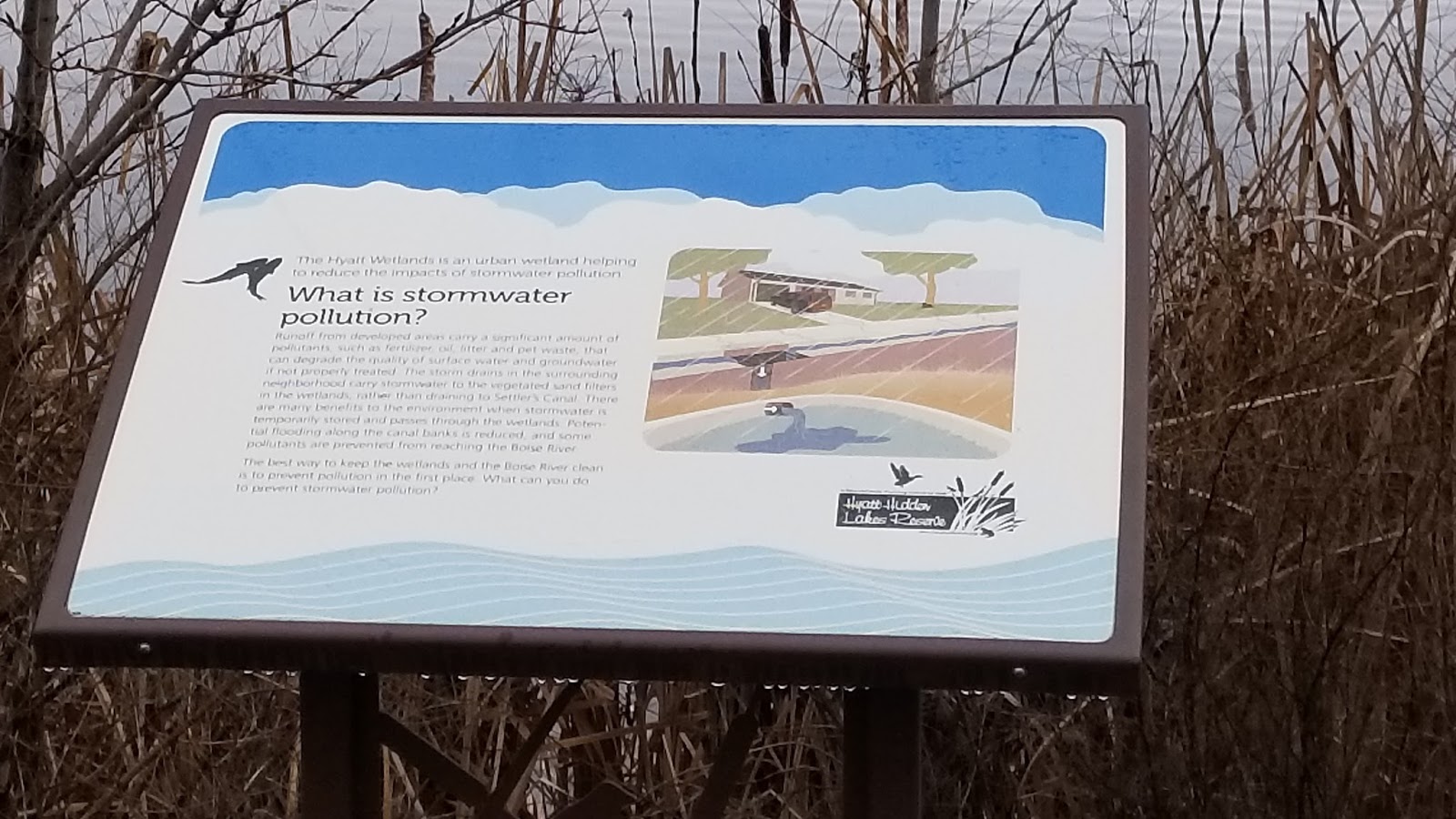
It's called Hyatt Hidden Lakes Reserve. It's a hidden gem located near the junction of Maple Grove and McMillan. The 54-acre reserve has large ponds and wetlands areas that have the dual purpose of filtering stormwater runoff and serving as a home to large numbers of birds, waterfowl and small critters.

There are more than 10 interpretive signs in the reserve.
The park is set up perfectly for birding -- for pros and amateurs. There’s a pathway in the upper bench of the park where you can look down on the ponds with your binoculars, and there are places where you can get much closer, depending on your preference.

Managed by Boise Parks & Recreation, the park was dedicated in 2012. The Hyatt Family donated 22 acres of the property to the city, and the rest was acquired. In December 2008, the Boise Public Works Department received a $1.3 million EPA grant to create an innovative stormwater treatment pilot project at the site. The project has turned out to be a great success from a water-quality and wildife-enhancement standpoint, so hat’s off to the city and its partners. It's my understanding that ACHD and Nampa-Meridian Irrigation District also were involved in the project.

This is also a place to learn ... there are multiple interpretive sites that provide educational information about stormwater, wildlife habitat, wetlands as nature’s filtering systems and more. Please note that there’s no fishing, boating, swimming, wading or bikes allowed in the park to protect wildlife.

The Golden Eagle Audubon Society will be participating in the Great Backyard Bird Count at Hyatt Hidden Lakes Reserve on Monday, Feb. 19 from 10 a.m. to noon. This would be a good opportunity to learn about birding from the pros.

The Hike: Start from either the parking area next to Marigold or McMillan. There’s a main loop that tours the ponds below, and an upper trail that connects back to the main loop. If you travel both trails, you’ll cover about 1.5 miles. Hikers and runners who want to do more mileage can double or triple the loop. There's a long sidewalk along Maple Grove to Marigold that can be added to your loop.

Another tip for the weekend would be to dust off your road bike and go for a ride on the Greenbelt, Hill Road, City to Farm Loop in SW Boise, Swan Falls or any number of rides that you do in the Boise Valley.

Check out my Boise Road Cycling Guide, which has 30 detailed rides for beginners, intermediates and experts in the valley. It's a two-sided, color, waterproof map that you can find at most any bike shop in Boise and Boise REI. The rides include routes in Emmett, Meridian and Nampa as well as the Boise area.

At Bogus Basin, there's a fun event going on Saturday called the Goggle Tan Tour. The beer starts flowing at 11 a.m. Bogus Basin will have a BBQ going on the patio by the lower lodge as well. Entry is free. It's a traveling show, and this is their fourth stop. There will be live music, ski beach games, "badass give-aways" including goggles from Smith Optics, and beer.

Brundage has Diva Day happening on Saturday, with $30 discounted lift tickets for women 18 and over, free yoga practice, live music, and Happy Hour giveaways in Smoky's Bar & Grill. Sounds fun, too!

Have a great weekend! Go Patriots!
- SS

Thursday, March 20, 2014

Spring has sprung in the Owyhees! Exploring Sage Creek a good bet for the weekend

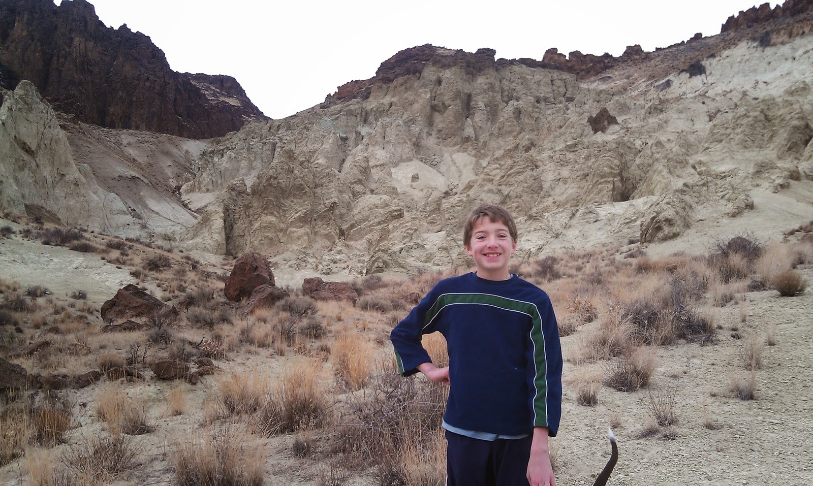
Our kids mess around in the rocks above the draw ... 
Hiking into Sage Creek from the trailhead.
One of many caves you'll see in there.
Balanced-rock features are everywhere in the middle of the canyon.
Hi all,

The slighter warmer, spring-like weather has been excellent for hiking, running and biking in the Boise Foothills. People are loving it, and they're out there in big numbers! And for good reason, spring is a perfect time to get out hiking, biking and running! March-June also is the perfect window of opportunity to explore the Owyhee Canyonlands before it gets blazing hot in July and the rattlesnakes emerge.

This week, I'd like to feature a couple of cool hikes in the Owyhees in the Sage Creek area, near Succor Creek State Park. Sage Creek is featured in our new guidebook, the Owyhee Canyonlands: An Outdoor Adventure Guide. It's a low-elevation destination, with tons of unusual and colorful volcanic rock and ash formations, and it's a kid-friendly and family friendly hike.

This is what I said in the book: "Sage Creek is a hidden jewel chock full of spectacular volcanic rock and ash formations in the creek-bottom and on the mountainsides as you hike along the creek ... One of the key highlights in Sage Creek is that you'll encounter multiple balanced rock features, some of them obvious phallic-type symbols, as well as spires, cliffs, fins and caves."
My son, Drew, loved the hike. 
Our guide features a 2.5-mile exploration out-and-back hike, cruising up the bottom of Sage Creek (rated easy for all abilities), and a 6-mile hike up to the top of McIntyre Ridge from Sage Creek (rated moderate to strenuous), with nearly 2,000 feet of climbing. Both of them are great!

How to get thereTake I-84 to the ID 55 exit in Nampa, heading west toward Marsing. Go west on ID 55 and  and Turn right on Chicken Dinner Road, then left on Homedale Road, and go to Homedale. Follow State Highway 19 west of Homedale, and then Highway 201 in Oregon, to a signed turnoff for Succor Creek State Park on the left. Head south on the dirt road. It's 12.1 miles to the unsigned right-hand turnoff  for the Sage Creek Trailhead. There is a lone scrubby cottonwood tree at the turnoff. Follow the primitive two-track road over several creek-crossings to the trailhead .9 miles from the Succor Creek Road.   
Nice rhyolite cliffs with Wendy in the foreground. 
Road access challenge: 4WD high-clearance vehicle is required to reach the trailhead; multiple creek crossings are involved. It's possible, however, to take a 2WD vehicle to the Sage Creek road junction, and hike from there. Add .9 miles to the trip if you start from Succor Creek Road. 

Hike #1 - 2.5-miles out and back
Cruise up the creek-bottom of Sage Creek, picking your way up the draw as you like. Hike at least a mile upstream to see the balanced rock features on the mountainsides above the draw as well as many other interesting rock formations. The volcanic ash flows in the area have turned different shades of white, orange and green over time. These formations are very erosive ... you can scratch the ash with your fingernails. Wear shoes that can get wet ... I doubt there's much water in the creek-bottom, but you will encounter some pools along the way.   
Hiking down-canyon back to the trailhead.
Hike #2 - 6-mile loop
From the end of the road, hike up-canyon and cross the creek to the left side. At mile .2, climb up the left-hand draw. It's a super-cool hike through many rock formations as you ascend the draw. It's about 2 miles to the top of the saddle near McIntyre Ridge. Climb to the top of McIntyre Ridge if you'd like. This area overlooks Succor Creek State Park to the east and Three Fingers Rock and many other features to the west. On the way down, descend the ridge to the left of the draw you climbed up, and enjoy a cool hike down into the draw. You'll pass by the "official" balanced rock on your way into the draw. Turn right at the bottom of the draw, and hike back to the trailhead.

Family pic in Sage Creek. November 2012. Kind of rare to get our 4 kids together for a family hike!
L-R, Drew, Tom with our pointer Huck, Wendy, Elena, Quinn, Steve 
Camping notes: You could camp in the bottom of Sage Creek. Quiet spot. Self-support camping. You also could camp at Succor Creek State Park, which has a public rest room, very close by, but that will be much more crowded. If you'd like to explore some other areas, Succor Creek Road connects to Leslie Gulch, Three Fingers Rock and many other areas worth checking out in our guidebook. 

If you're looking for ideas about what to do over Spring Break next week, check out my blog from last year with many ideas for recreation and camping close to home

Have fun! 
-SS