 |
| The heron and cormorant rookery along the Eagle Greenbelt is a sight to behold. |
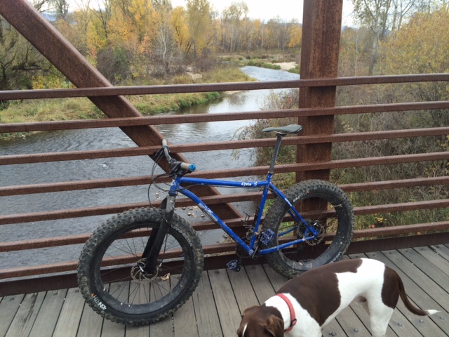 |
| Eagle Greenbelt pedestrian bridge. I took my snow bike out there. |
 |
| Drew on his three-wheeler on a greenbelt ride with Dad in west Boise |
 |
| Biking on the Greenbelt through Municipal Park |
 |
| Here's a fun group pausing for a pic by the ParkCenter pedestrian bridge |
Spring weather is trying to get some traction in the Treasure Valley, but wet and cool wintry weather has made it challenging, even almost half way through April! On Friday and Saturday of this weekend, the weather forecast looks promising for sunshine on Friday with a high of 50, and partly cloudy to cloudy conditions on Saturday, but no real chance of rain, with temperatures hovering around 60. Sunday could be rainy and wet.
For my outdoor tip of the week, I'm recommending some easy bike rides as inspiration to dust-off the bike in your garage, wipe off the cobwebs and get that baby into good running condition.
Here are five easy rides that provide a tour of discreet sections of the Boise River Greenbelt from Eagle to Lucky Peak. All of these rides would be great for families and kids, and all ages and abilities. Pick a route that strikes your fancy.
1. Eagle Greenbelt Loop - Distance: About 7 miles. Best bike for the ride: mountain bike or cross bike. Tread: pavement and dirt. Start at the greenbelt parking area by Glenwood and Marigold next to the Boise River. Ride west, taking the underpass at Glenwood, and continue through a housing area next to the river. Stay on the south side of the river at the pedestrian bridge and continue past the gravel pits, Boise Wastewater Treatment Plant and the heron rookery to Eagle Road. Go right on the shoulder of Eagle Road and ride on the paths next to the busy highway. Pick up the greenbelt in several hundred yards and ride east. Cross the pedestrian bridge and then you'll be riding on a paved pathway on the north side of the river. Follow that path through several dirt sections and then on pavement through a couple of subdivisions. Cross the pedestrian bridge to the south side of the river, turn left and return to the start at Glenwood.
2. Glenwood to Esther Simplot Park - Distance: 7 miles out and back. Best bike for the ride: road bike or any kind of bike. Tread: pavement. This ride could be done as a loop if they're able to restore the pedestrian bridge by Plantation, but in the meantime, it's an out-and-back ride on the Garden City side of the greenbelt. Start by the Glenwood and Marigold greenbelt parking area. Ride east on the Greenbelt for a mile to the bridge washout site. Follow the paved path on a detour around some private property on Remington Street and return to the greenbelt going east. You'll pass under the Veterans Parkway bridge and continue another mile to Esther Simplot Park. There's a pedestrian bridge there where you can cross over and tour around the park as you wish. Watch kayakers or surfers on the play wave. Return to Glenwood to finish the ride.
3. Bridge to Bridge Loop - Distance 9-mile loop. Best bike for the ride: road bike or any kind of bike. Tread: pavement. This is cool route because you can ride on both sides of the river for the loop, and enjoy the pedestrian bridges on the book-ends of the route. Start in Esther Simplot Park. Pick up the greenbelt pathway over by the Boise River and pedestrian bridge. Ride either on the south or north side of the river and go east toward downtown. Enjoy all the underpasses and ride along the river to the ParkCenter pedestrian bridge. Cross the bridge and return to Esther Simplot Park.
4. Municipal Park to Marianne Williams Park - Distance: 9.5 mile loop or about 8 miles out-and back. Bike bike for the ride: road bike or any kind of bike. Tread: pavement. This is a pretty route going through Warm Springs Golf Course and riding along the river on the north side, and a tour of residential paths on the way back. Start at Municipal Park and ride east on the greenbelt. In Warm Springs Golf Course, ignore the right-hand spur going over to the pedestrian bridge. Continue on the north side of the river out to Marianne Williams Park. Follow signs for a temporary detour around a pathway that's closed due to construction. Ride over to Eckert Road. Turn right and ride to Barber Park. Go west on the paved pathway through the park and continue going west through a number of subdivisions. Eventually the pathway busts out of the housing and onto the side of ParkCenter Boulevard. Turn right on River Run Drive next to Baggley Park and follow the bike lane along River Run back to the main greenbelt. Keep going west to Broadway. Take the highway bridge across the river and drop into the path going east on the north side of the river to return to Municipal Park.
5. Eckert Road to Lucky Peak - Distance 10 miles out and back. Best bike for the ride: road bike or any kind of bike. Tread: pavement. This ride can be a little more challenging depending on the wind, but it's fun to go out to Discovery Park next to Lucky Peak, and this is the eastern end of the greenbelt. Start in Harris Ranch and park by Lucky 13 or in Barber Park. Take the greenbelt along Eckert Road and then go east on the greenbelt out to Lucky Peak. You'll have to detour around the path east of Idaho State Parks because that pathway is still under reconstruction. Past that area, you'll pass under the huge Idaho 21 bridge, go by Diversion Dam and then cruise along next to the river on the final approach to Discovery Park. It can be windy in this area. Bring a picnic lunch to enjoy at Discovery Park and retrace your steps to the start.
The whole Boise River Greenbelt and 30 more road-biking routes are detailed in the Boise Road Cycling Guide, a fold-out waterproof and tear-proof map with rides in the Boise Valley, Meridian, Kuna, Nampa and Emmett. Boise Road Cycling Guide is available for retail sales at George's Cycles, Idaho Mountain Touring, Boise REI, Bob's Bicycles and stevestuebner.com.
Have fun!
- SS


No comments:
Post a Comment