 |
| Boise Foothills trails are "the bomb" right now! Cool conditions and trails are in great shape! Pic of Harrison Hollow by SS |
Hi all,
After a really nice and cool week of September fall weather, it looks like we'll be shooting up into the 80s this weekend in the Boise Valley and 60s-70s in the mountains. Prime time to do just about anything outdoors while the primo fall weather lasts!
The smoke has cleared from wildfires too in most locations, so that is a bonus!
For my outdoor tip of the week, I'm recommending two hikes in the Boise Foothills and one at Bogus Basin for the weekend. (see below)
First, a couple of outdoor notes:
It's National Public Lands Day on Saturday, Sept. 24. You can visit National Park system properties in Idaho like Hagerman Fossil Beds National Monument, Craters of the Moon National Monument or City of Rocks for no charge. Volunteers are needed for Idaho Department of Parks and Recreation National Public Lands Day projects at City of Rocks, Castle Rocks, Harriman State Park. Follow the web link to sign up.
 |
| South Fork Willow Creek property ... future open space? (Courtesy LTTV) |
The Land Trust for the Treasure Valley just announced today they need to raise $100,000 to acquire 320 acres in the Boise Foothills for protection as open space and wildlife habitat. The property, known as the South Fork Willow Creek property, is east of Avimor and bounded by the BLM on two sides. The property also has potential for recreation and walking and biking trails. If you'd like to donate, go here!
My boater friends would appreciate the latest outdoor dispatch from Steve Dent with KIVI-TV about a group of experienced whitewater paddlers and firefighters who paddle-rafted the entire North Fork of the Payette River from top to bottom. They broke up the 15-mile continuous Class 5 white-knuckle run into sections. They completed their goal without suffering any major injuries - not to say they didn't have an occasional swimmer! Kudos to them for doing it safely!
Courtesy Steve Dent, KIVI-TV YouTube channel
Now, the hikes! All of these hikes are featured in my book, "Boise Trail Guide: 95 Hiking and Running Routes Close to Home."
 |
| Table Rock trail (courtesy Outdoor Project) |
1. Castle Rock - Table Rock "Foothills on the Rocks" - full tour, 4.35 miles; Hiking time 1.5 hours; Vertical gain: 950 feet. Start/finish at the Old Pen parking lot next to the Bishop's House in East Boise.
Take Castle Rock Trail #19 and climb .5 miles to the top of Castle Rock, a spiky basalt rock cap overlooking Quarry View Park. Turn right at the top and take the Quarry Trail along the edge of the rocks and pick up Trail #15 and cruise over toward Table Rock. The trail gets progressively steeper as you approach the south face of the mountain butte. Once on top, head over to the cross to check out the view of the Boise Valley.
Circle back on Trail #16, a singletrack trail around the edge of the Quarry bear right on Trail #17. Thread through the giant boulders and rejoin Trail #15 to retrace your steps to the Bishop's House trailhead.
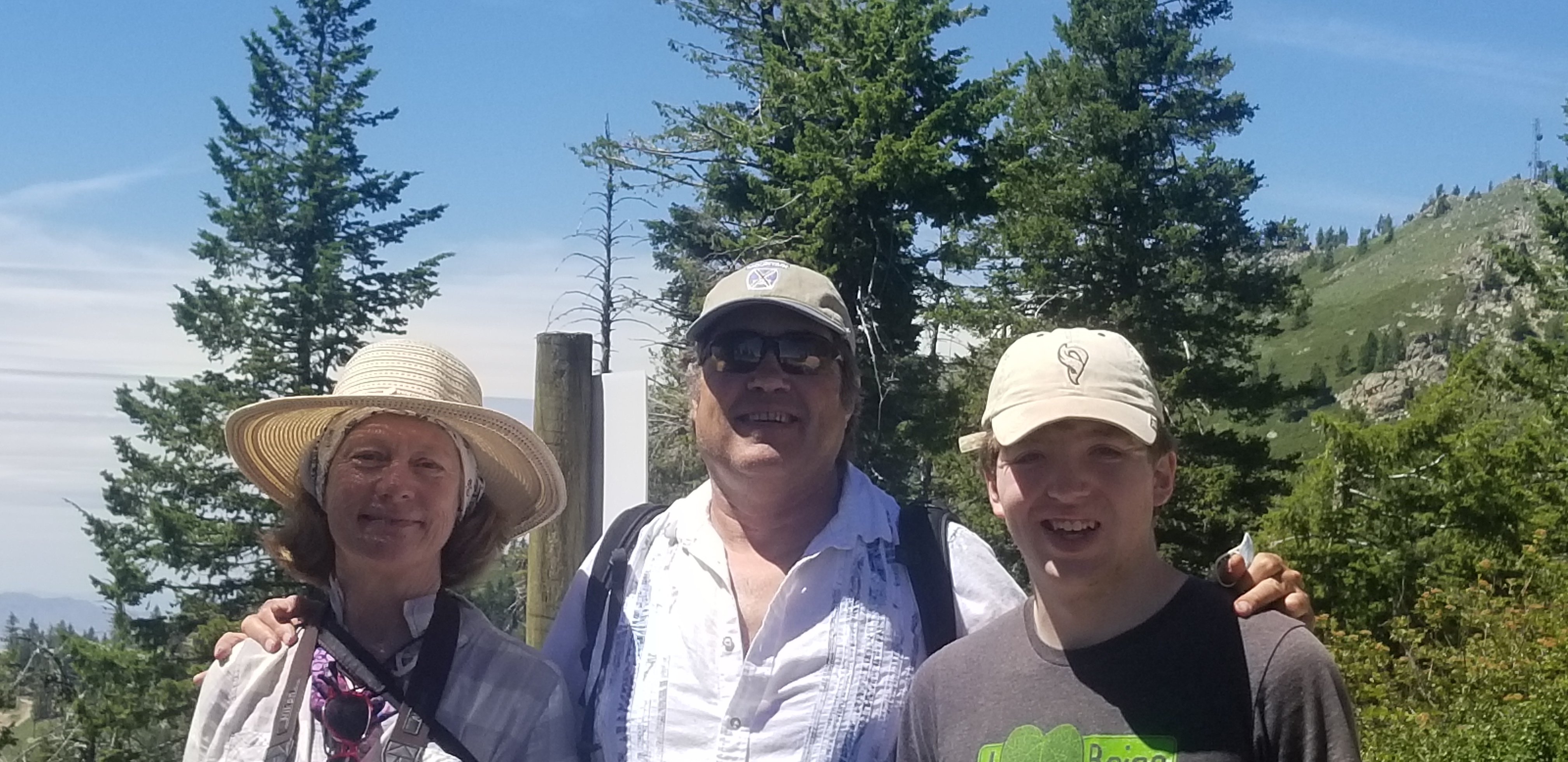 |
| Hiking to the top of Bogus Basin with Wendy and Drew |
2. Quickest Way to Heaven at Bogus Basin - This is the name of a fun hike at Bogus in my Boise Trail Guide. It literally is the fastest way to the top on foot. Distance: 3 miles; hiking time, 1.5 hours; vertical gain: 750 feet.
Drive to the Pioneer Lodge. Climb to the top of Morning Star chairlift and turn left on Lodge Trail #140. Follow the two-track around to the Superior side of the mountain. After one mile, you'll come to a junction where a right-turn takes you to the summit of Bogus, Shafer Butte, elevation, 7,582 feet. Bring a lunch and favorite beverage to enjoy the moment on top!
Wendy and I went hiking last Sunday afternoon at Bogus, and we were pleased to see the BBQ is open by the lower lodge, with burgers, beers, and more! They were open till 5 p.m. Perfect way to cap off a fun day on the trails at Bogus!
 |
| Courtesy Michelle Parsons |
3. Polecat Gulch Finger Loop - See a previous post with directions, pics and a map of this 6-mile moderate and scenic hike. Access is via N. Collister or Cartwright Road. Please note that the direction of travel for the full Polecat Loop is clockwise. R2R's has signs indicating the proper direction. From the N. Collister trailhead, you'll climb an initial hill to the top of a ridge, and then you'll see a left-hand turn for the Polecat Loop. The whole trail is narrow singletrack hiking, biking and running trail, following a series of finger ridges in the Northwest Boise foothills. One-way travel for the whole loop.
Have fun!
- SS


 Posts
Posts


